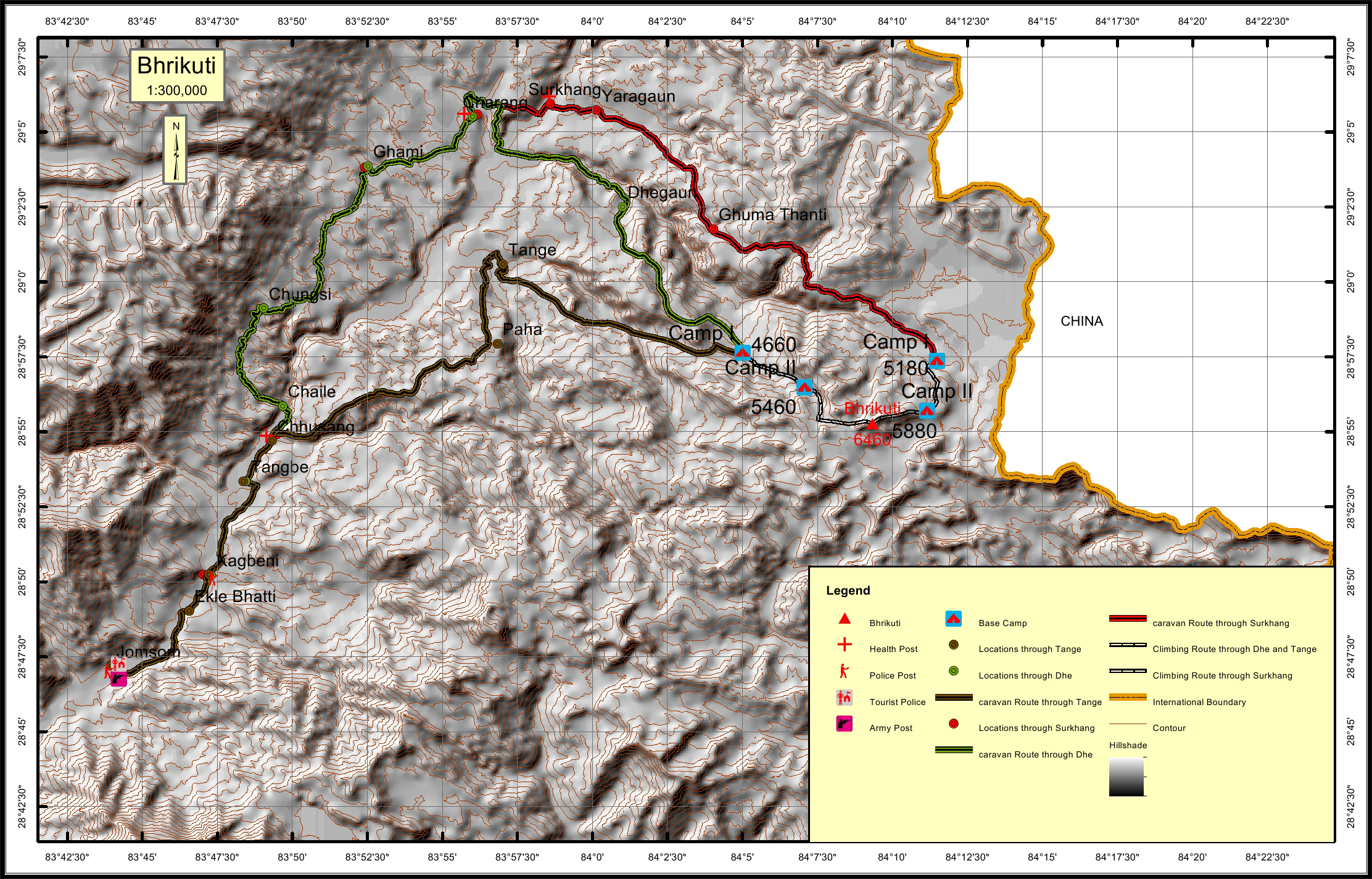
Bhrikuti Overview
Other Name
Damodar Himal
Peak ID
BHRI
Status
Opened
Elevation
6476 M / 21246 FT
Latitude
28° 55'08"
Longitude
84° 08'51"
History
1st ascent on
May 18,1982
1st ascent by
Takashi Sakuma,
Masanobu Tsuchiya,
Tashi Jangbu Sherpa,
Masanobu Tsuchiya,
Tashi Jangbu Sherpa,
Location
Nearest help center
( from the basecamp alongthe caravan route )
Royalty Fees
How to get there
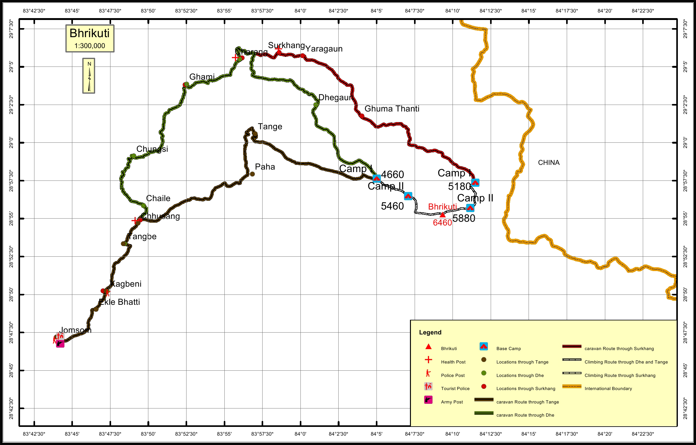
Maps