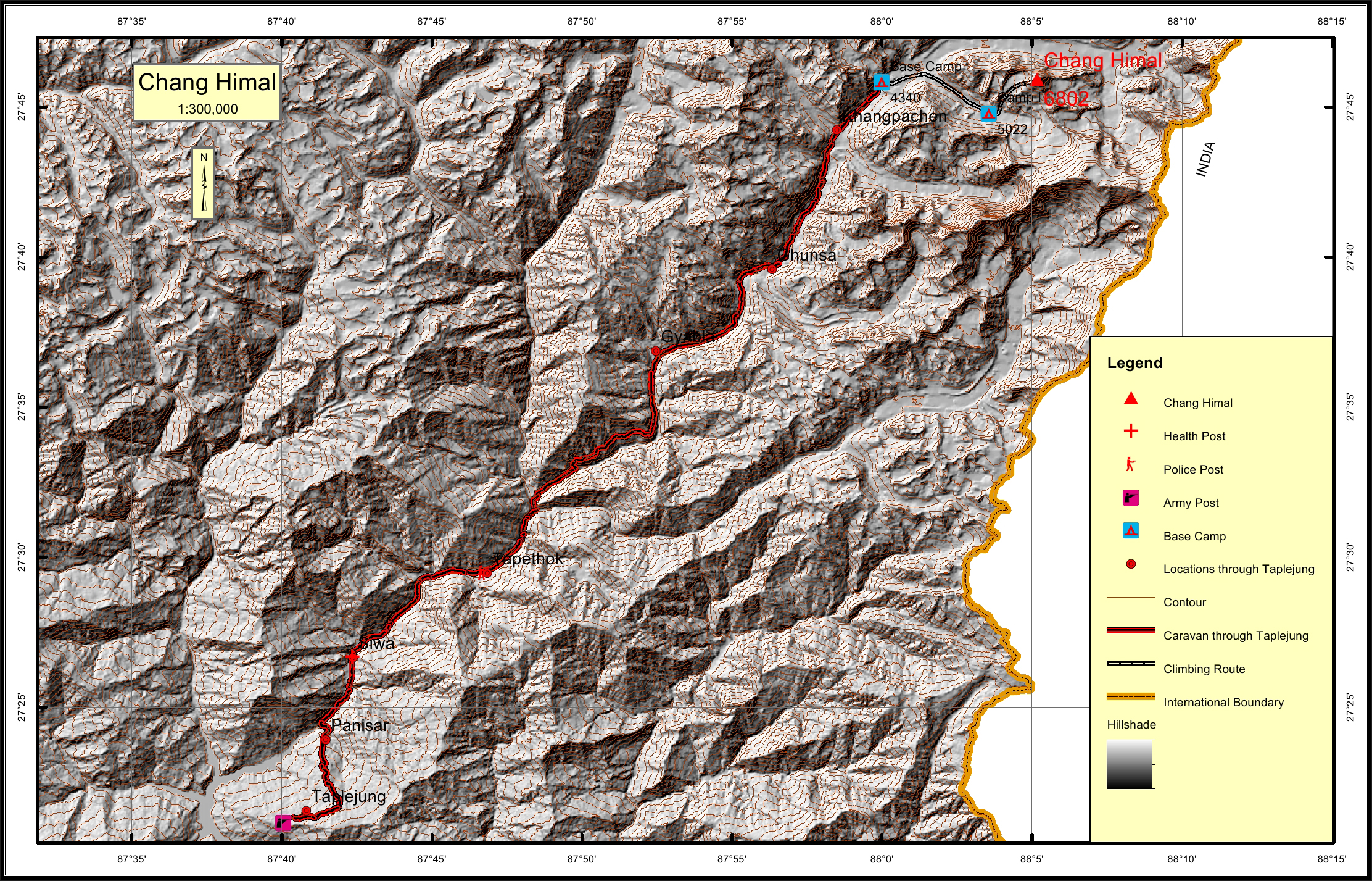
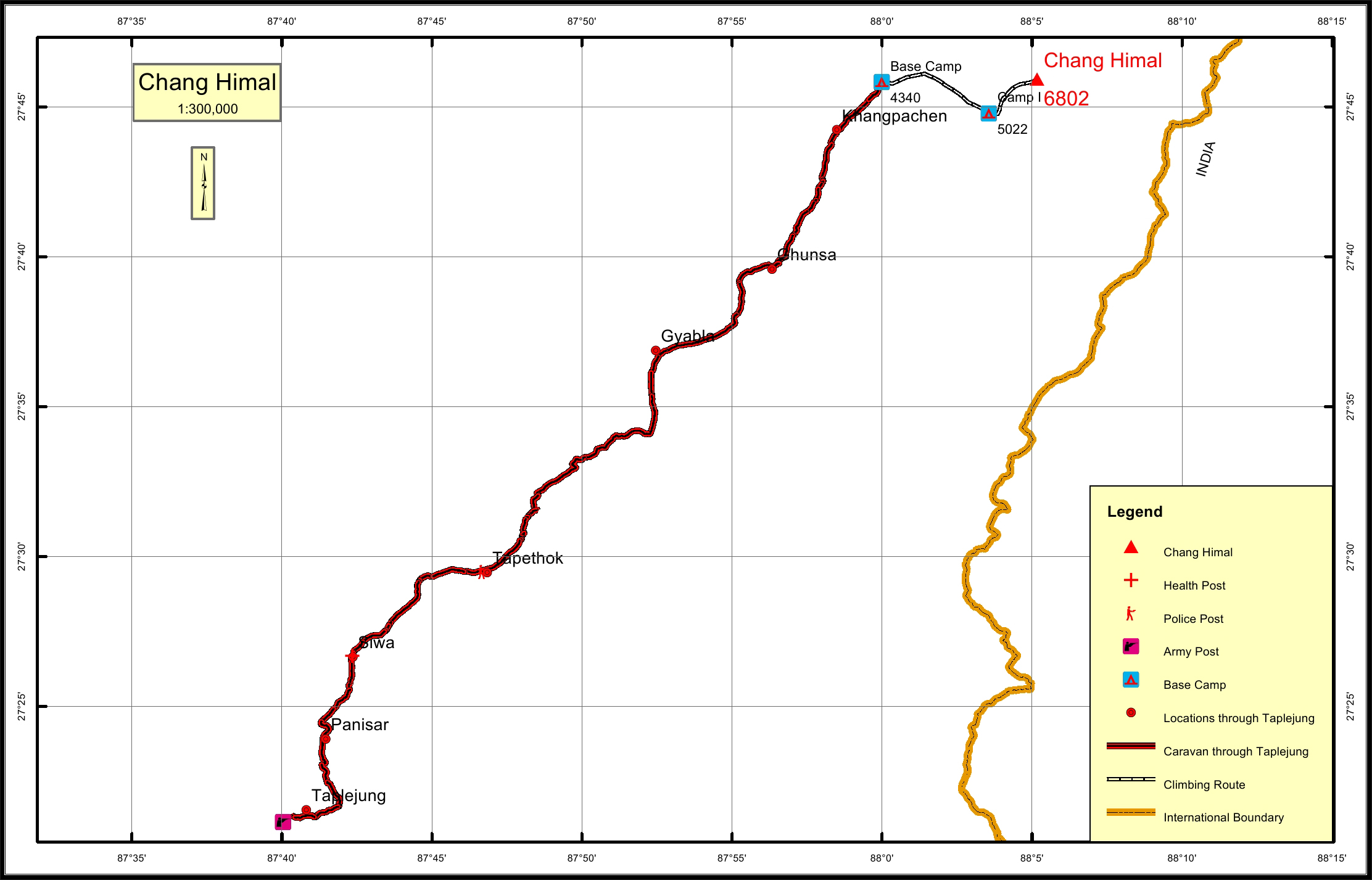
Chang Himal Overview

Other Name

Wedge Peak, Ramtang Himal

Peak ID

CHAN

Status

Opened

Elevation

6750 M / 22316 FT

Latitude

27º 45' 55"

Longitude

88º 05' 10"

History

1st ascent on

Oct 5,1974

1st ascent by

Janej Gradisar,
Bjan Pollak,
Michael Smolej,

Location

  • Province:

    Province 1
  • Mountain Range:

    Kanchenjunga
  • District:

    Taplejung
  • Municipality/Rural Municipality:

    Phaktanglung

Nearest help center

( from the basecamp along
the caravan route )
  • Police post:

    Tapethok 43.4KM
  • Armed police post

    Taplejung 68.1KM
  • Army post:

    Taplejung 68.1KM
  • Health centre/post:

    Siwa 53.6KM
  • Nearest settlement :

    Khangpachen 3.8KM

Royalty Fees

  • Nepalese (NRs):

    Spring 5000, Autumn 2500, Winter/Summer 1250
  • Foreigners (USD):

    Spring 400, Autumn 200, Winter/Summer 100

How to get there

  • From Kathmandu:

    Fly to Biratnagar or Bhadrapur and then by vehicle to Taplejung or by vehicle to Taplejung
  • Caravan route:

    Taplejung-Ghunsa-Lonak-BC
  • Caravan route
    length:

    68.1KM through Taplejung
  • Climbing route
    length:

    10.5KM
  • Duration:

    30 Days

Maps

Four Faces

Chang Himal (North Face from Tengoma BC)