Dhaulagiri II Overview
Peak ID
DHA2
Status
Opened
Elevation
7751 M / 25430 FT
Latitude
28º 45' 47
Longitude
83º 23' 26
History
1st ascent on
May 18,1971
1st ascent by
Adolf Huber,
Ronald Fear,
Adi Weissensteiner,
Jangbu Sherpa,
Ronald Fear,
Adi Weissensteiner,
Jangbu Sherpa,
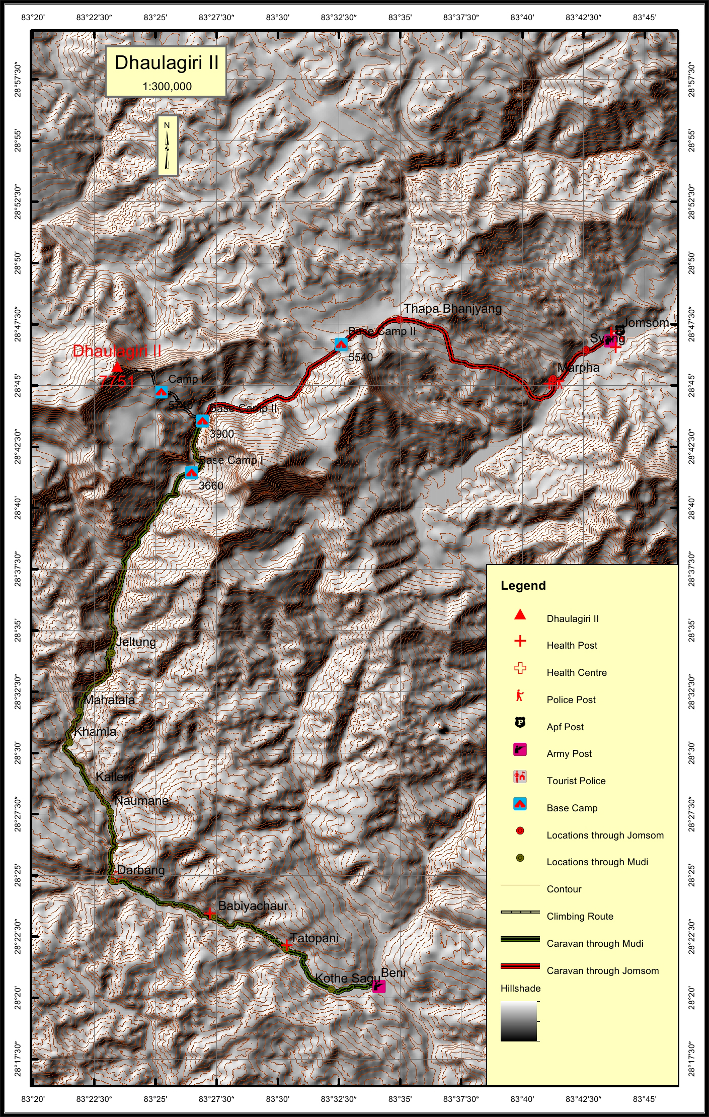
Location
Nearest help center
( from the basecamp alongthe caravan route )
Royalty Fees
How to get there
Maps

Four Faces
.jpg)
Dhaulagiri II (South face from Poon Hill)
_dsc02234.jpg)
Dhaulagiri II (east face from Thapa Peak)
.jpg)