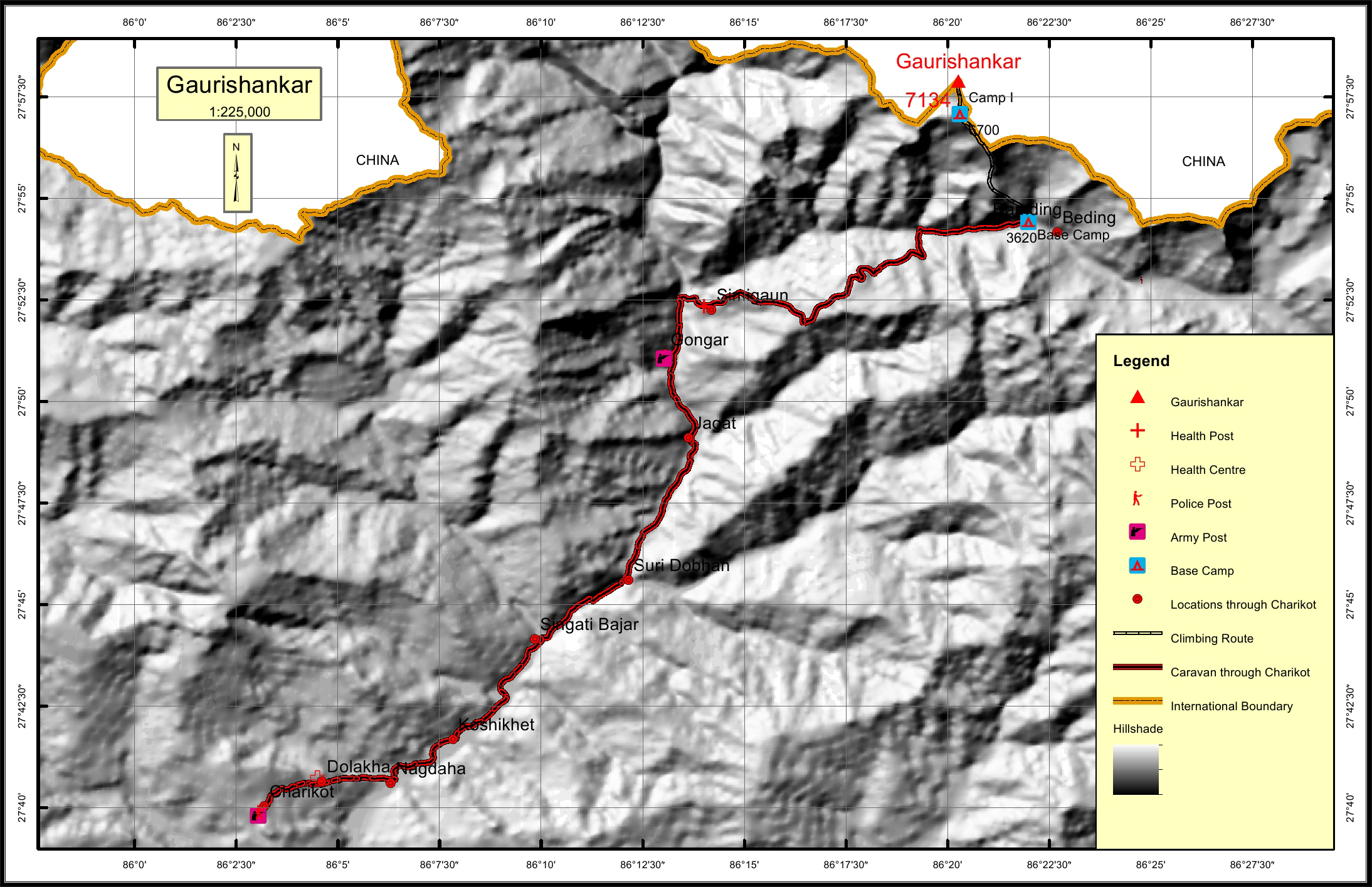
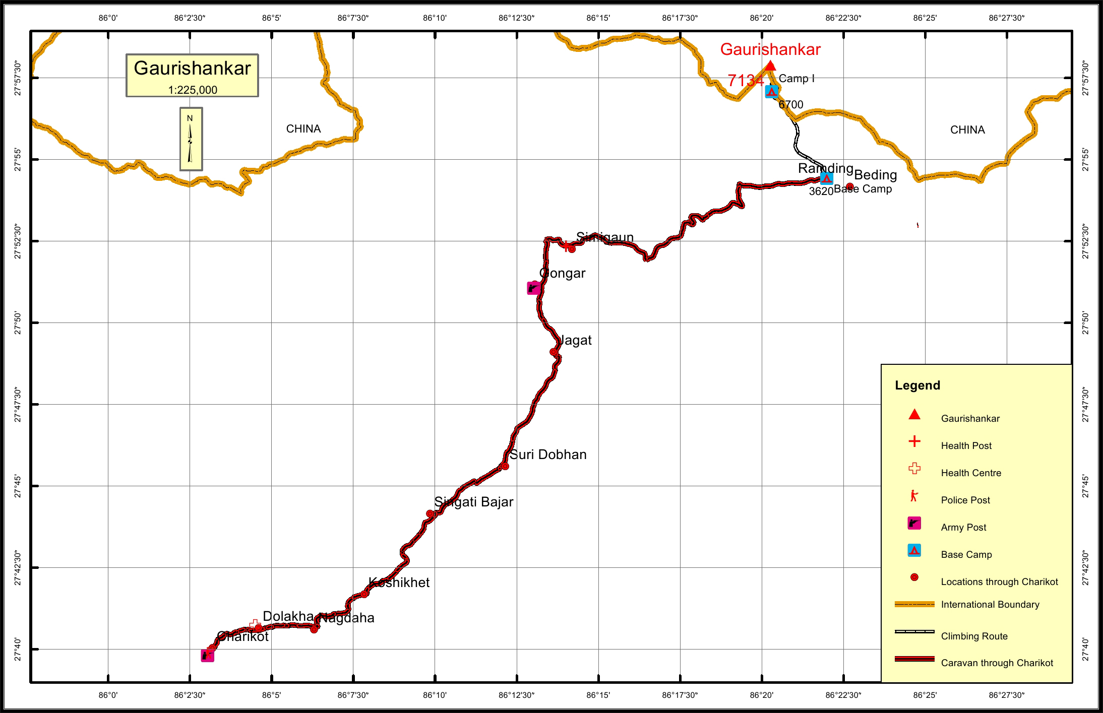
Gaurishankar Overview

Other Name

Jomo Tseringma

Peak ID

GAUS

Status

Opened

Elevation

7135 M / 23406 FT

Latitude

27º 57' 54"

Longitude

86º 20' 16"

History

1st ascent on

May 08,1979

1st ascent by

John Roskelley,
Dorje Sherpa,

Location

  • Province:

    Bagmati Pradesh
  • Mountain Range:

    Rolwaling
  • District:

    Dolakha/NC
  • Municipality/Rural Municipality:

    Gaurishankar/NC

Nearest help center

( from the basecamp along
the caravan route )
  • Police post:

    Charikot 55.6KM
  • Army post:

    Gongar 20.7KM
  • Health centre/post:

    Simigaun 18.2KM
  • Nearest settlement :

    Ramding

Royalty Fees

  • Nepalese (NRs):

    Spring 6000, Autumn 3000, Winter/Summer 1500
  • Foreigners (USD):

    Spring 500, Autumn 250, Winter/Summer 125

How to get there

  • From Kathmandu:

    Drive to Dolakha, Charikot
  • Caravan route:

    Dolakha-Charikot-Simigaon-Beding-BC\Lamabagar-Lapche-BC
  • Caravan route
    length:

    55.6KM through Charikot
  • Climbing route
    length:

    7.6KM
  • Duration:

    50 Days

Maps