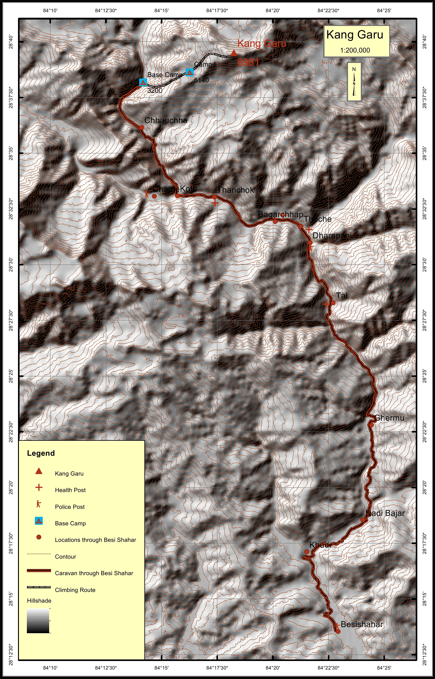
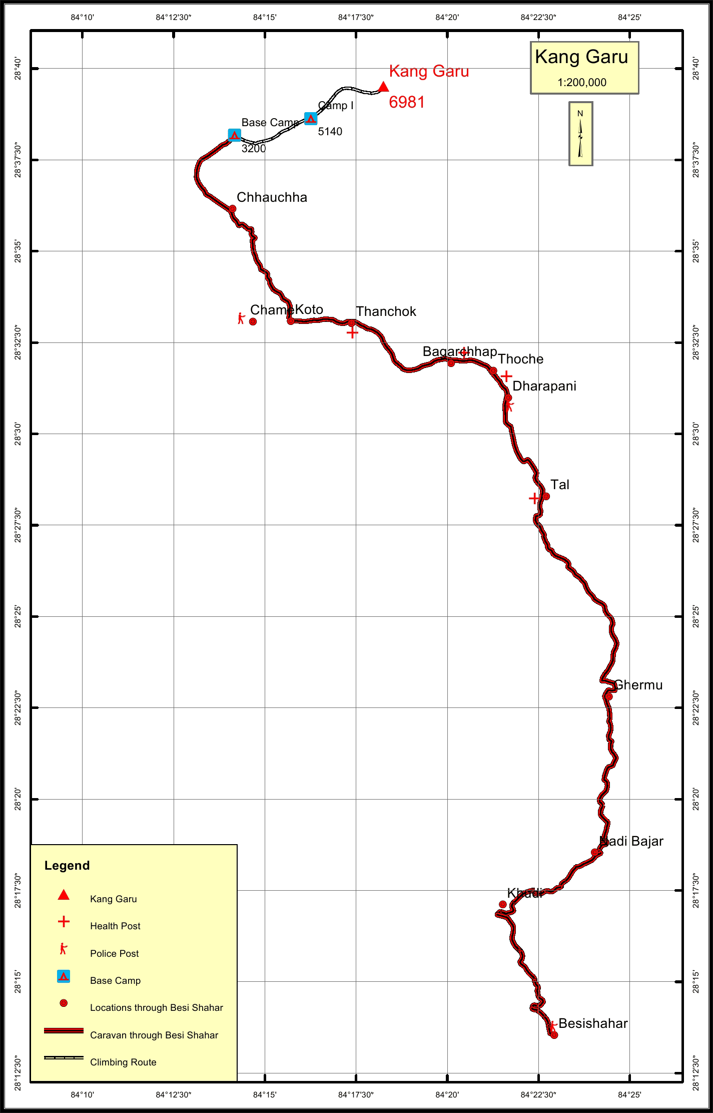
Kang Garu Overview

Other Name

Naurgaon

Peak ID

KAGU

Status

Opened

Elevation

6981 M / 22903 FT

Latitude

28º 39' 31"

Longitude

84º 18' 15"

Kang Garu part of Peri sub range of the Nepalese Himalayas is located in the Manang district of Western Nepal.

Location

  • Province:

    Gandaki Pradesh
  • Mountain Range:

    Peri
  • District:

    Manang
  • Municipality/Rural Municipality:

    Nashong/Nar Phu

Nearest help center

( from the basecamp along
the caravan route )
  • Police post:

    Dharapani 24.4KM
  • Health centre/post:

    Thanchok 15.1KM
  • Nearest settlement :

    Koto 12.1KM

Royalty Fees

  • Nepalese (NRs):

    Sp 5000, Au 2500, Wi/Su 1250
  • Foreigners (USD):

    Sp 400, Au 200, Wi/Su 100

How to get there

  • From Kathmandu:

    Drive to Besisahar
  • Caravan route:

    Besisahar-Dharapani-Koto-Phu-BC
  • Caravan route
    length:

    66.3KM through Besi Shahar
  • Climbing route
    length:

    7.9KM
  • Duration:

    40 Days

Maps