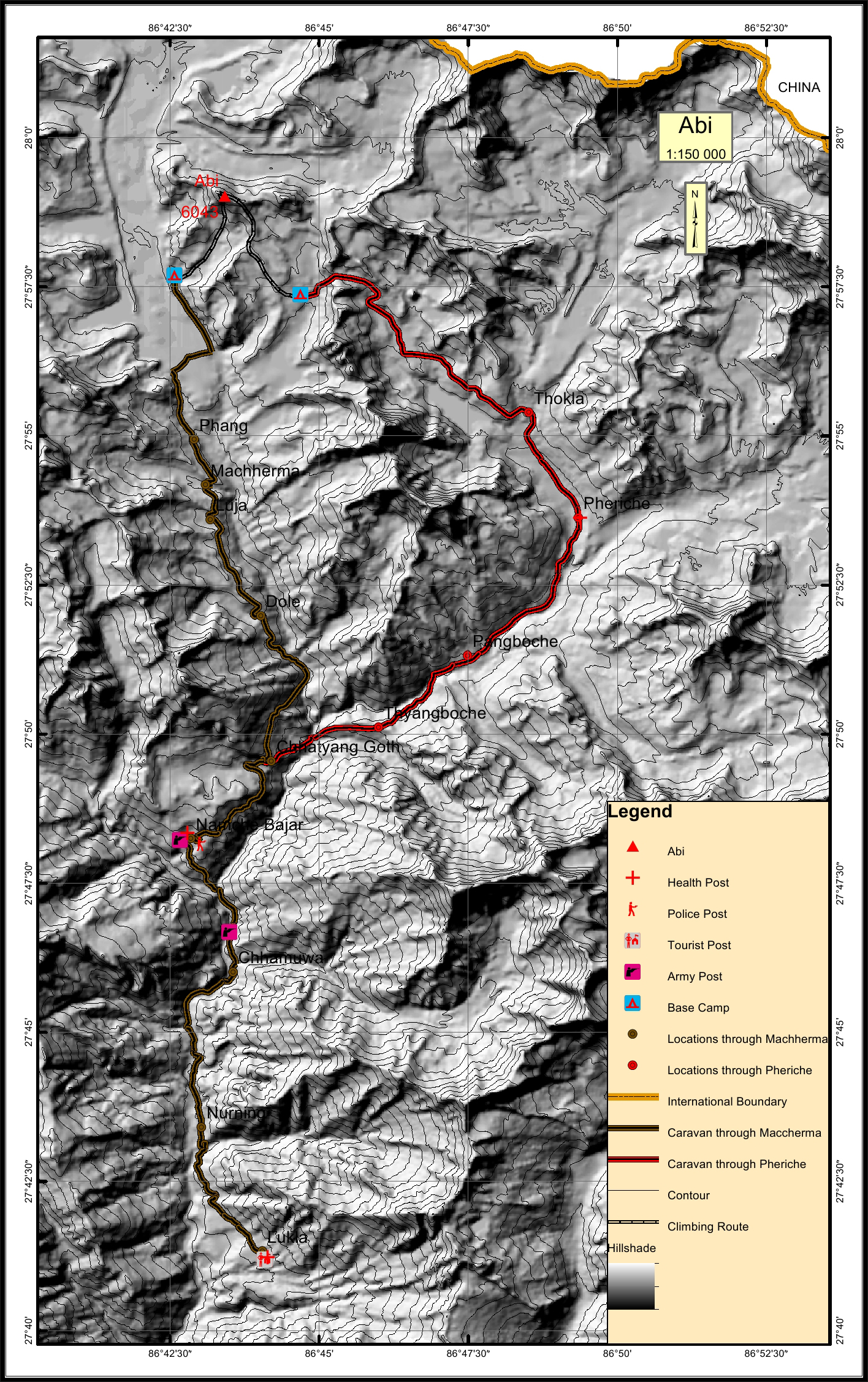
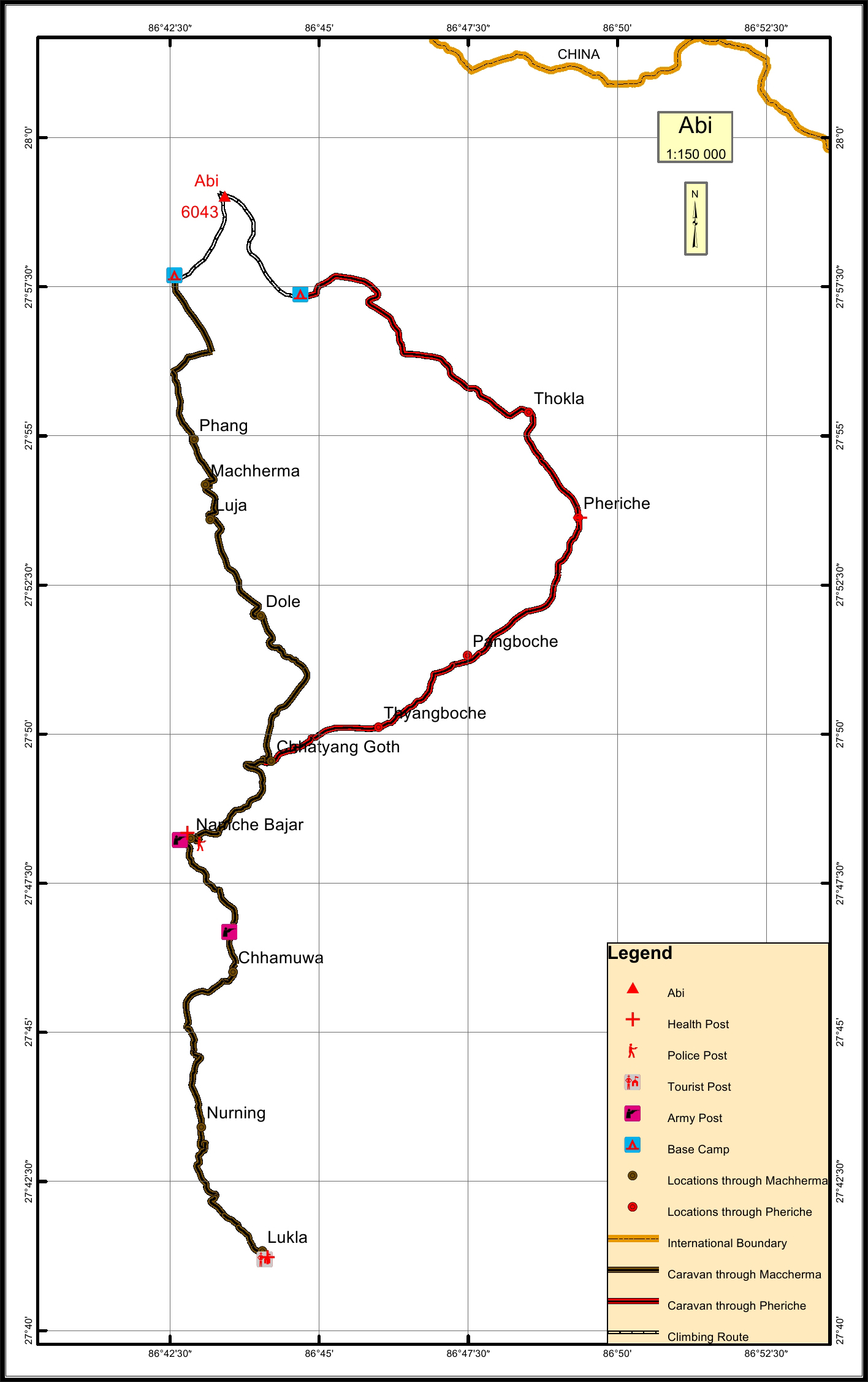
Abi * Overview

Peak ID

ABIM

Status

Opened

Elevation

6043 M / 19826 FT

Latitude

27º 59' 00

Longitude

86º 43' 25

Managed By

NMA

Abi, situated in the Khumbu Himal range, is located in the Mahalangur Solukhumbu region (eastern part) of Nepal. It is also known as Cholo and Kangchung from the pass that reaches it – the Kangchung La. Mt Abi is considered as a perfect training mountain for ice climbing and high-altitude acclimatization as it requires careful ascent up towards the technical ridges in its peak.

Location

  • Province:

    Province 1
  • Mountain Range:

    Mahalangur
  • District:

    Solukhumbu
  • Municipality/Rural Municipality:

    Khumbu Pasang Lhamu

Nearest help center

( from the basecamp along
the caravan route )
  • Police post:

    Namche 27.6KM Namche 35.4KM
  • Army post:

    Jorsalle 39.3KM Jorsalle 31.5KM
  • Health centre/post:

    Pheriche 13.1KM Namche 27.6KM
  • Tourist police post:

    Lukla 47.8KM
  • Nearest settlement :

    Phang 0KM km, Thokla 0KM km

Royalty Fees

  • Nepalese (NRs):

    Spring 4000, Autumn 2000, Winter/Summer 1000
  • Foreigners (USD):

    Spring 250, Autumn 125, Winter/Summer 70

How to get there

  • From Kathmandu:

    Flight to Lukla
  • Caravan route:

    Lukla-Namche-Khumjung-Gokyo BC/ Dingboche-Lobuche-BC
  • Caravan route
    length:

    44.7KM throgh Machhermo, 47.8KM through Pheriche
  • Climbing route
    length:

    4.3KM Pheriche, 3.1KM Machhermo
  • Duration:

    15 Days

Maps

Four Faces

Abi Peak (East Face from Amadablam C1)

Abi Peak (West Face from Gokyo ri 7576)