Aichyn Overview

Peak ID

ACHN

Status

Opened

Elevation

6055 M / 19865 FT

Latitude

30° 16'15

Longitude

81° 51'35

History

1st ascent by

Hiroki Senda,
Shintaro Saito,
Kata Ko,
Yuma Uno,

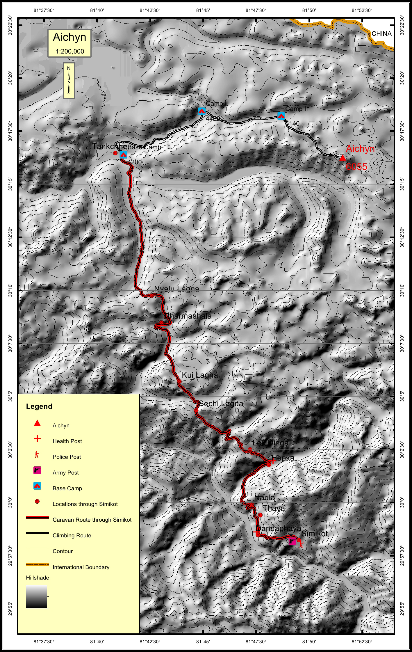
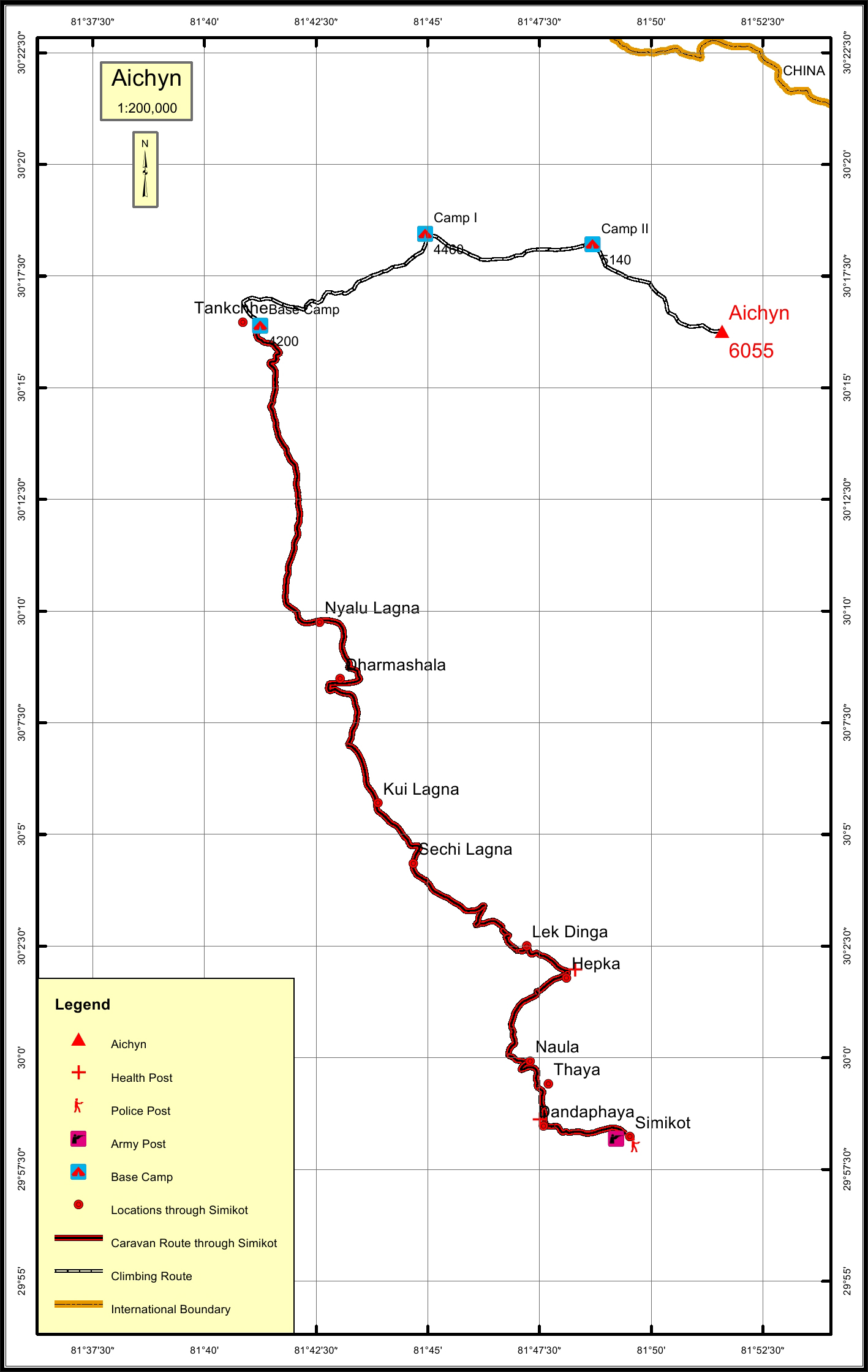
Aichyn peak is situated in the Chandi sub range of the Nepalese Himalayas. It has the second lowest elevation in the Chandi sub range which include Nyalu, Ganglung Gangri I , Chandi Himal, Changwathang, Aichyn and Ardang in the order highest to lowest in elevation. Aichyn was one of the 25 peaks attempted to climb after the devastating earthquak on 25th April.

Location

  • Province:

    Karnali Pradesh
  • Mountain Range:

    Chanwathan
  • District:

    Humla
  • Municipality/Rural Municipality:

    Namkha

Nearest help center

( from the basecamp along
the caravan route )
  • Police post:

    Simikot 49.6KM
  • Army post:

    Simikot 49.6KM
  • Health centre/post:

    Hepka 37.7KM
  • Nearest settlement :

    Tankchhe

Royalty Fees

  • Nepalese (NRs):

    Spring 4000, Autumn 2000, Winter/Summer 1000
  • Foreigners (USD):

    Spring 250, Autumn 125, Winter/Summer 70

How to get there

  • From Kathmandu:

    By flight to Nepalganj and Simikot
  • Caravan route:

    SimikotùSubakhola-Nyengla BC
  • Caravan route
    length:

    49.6KM through Simikot
  • Climbing route
    length:

    22.6KM m through Simikot
  • Duration:

    45 Days

Maps