Anidesh Chuli (White Wave) Overview

Other Name

White Wave

Peak ID

ANID

Status

Opened

Elevation

6960 M / 22336 FT

Latitude

27º 43' 07

Longitude

88º 04' 15

History

1st ascent by

unclimbed,

Anidesh Chuli is situated in the Kanchenjunga mountain range of Eastern Nepal bordering Sikkim (India). Anidesh Chuli (White Wave) is part of the western edge of the Kanchenjunga massif. Anidesh Chuli is a beautiful icy peak on the side ridge separating the Kumbhakarna Glacier and Ramtang Glacier. Anidesh Chuli has an altitude of 6808 meters. Anidesha Chuli is the Nepali name of this peak, and previously, Anidesh Chuli was known as White Wave. Anidesh Chuli is 4.6km west of Khangbachen peak and 4.5km south west of Ramtang peak. Kumbhakarna peak is 4.8 km south west of Anidesh Chuli.

Location

  • Province:

    Province 1
  • Mountain Range:

    Kanchenjunga
  • District:

    Taplejung
  • Municipality/Rural Municipality:

    Phaktanglung

Nearest help center

( from the basecamp along
the caravan route )
  • Police post:

    Tapethok 36.3KM
  • Armed police post

    Taplejung 60.6KM
  • Army post:

    Taplejung 60.6KM
  • Health centre/post:

    Siwa 46.6KM
  • Nearest settlement :

    Ghunsa 6.4KM

Royalty Fees

  • Nepalese (NRs):

    Spring 5000, Autumn 2500, Winter/Summer 1250
  • Foreigners (USD):

    Spring 400, Autumn 200, Winter/Summer 100

How to get there

  • From Kathmandu:

    Fly to Biratnagar or Bhadrapur and then by vehicle to Taplejung or by vehicle to Taplejung
  • Caravan route:

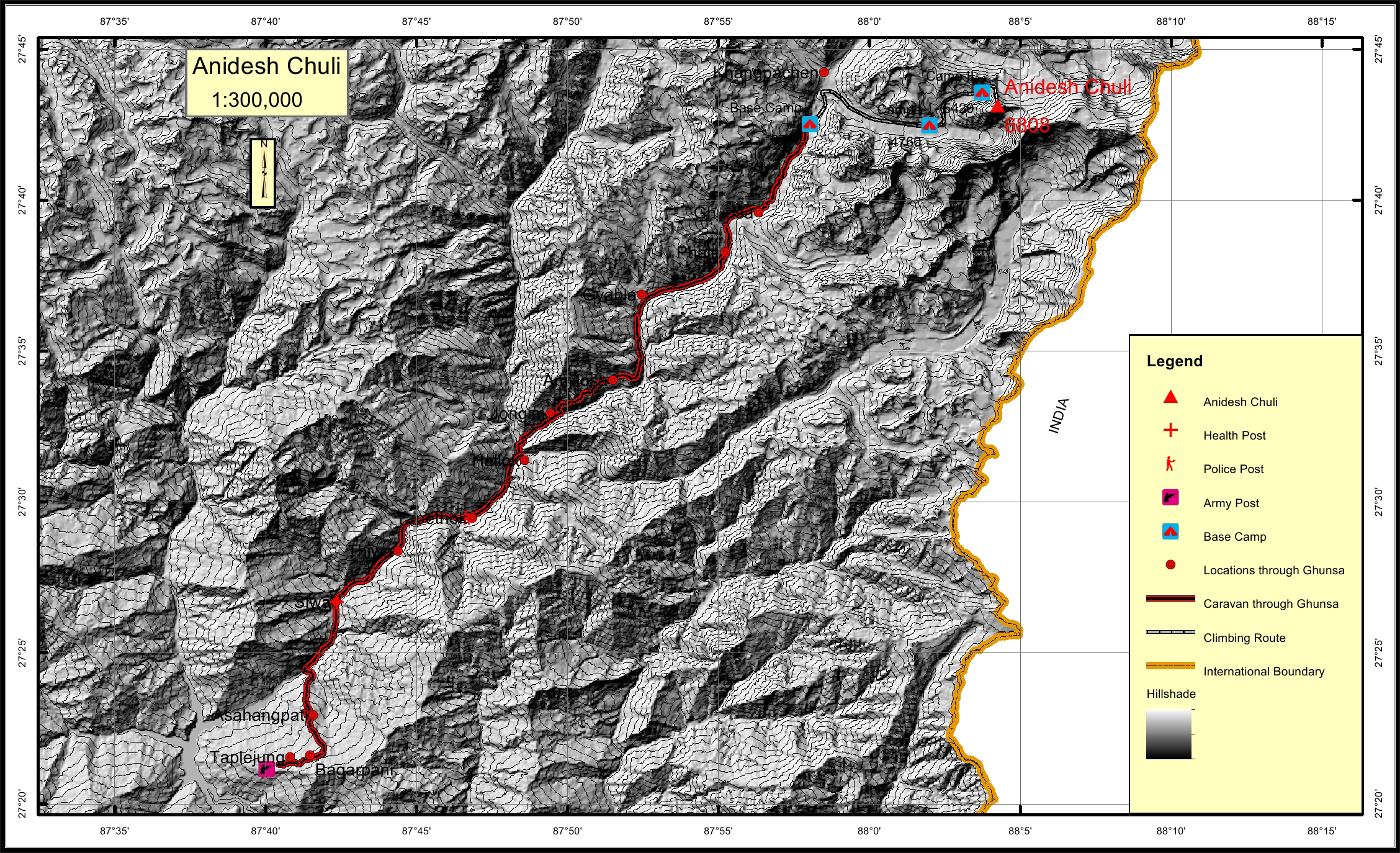
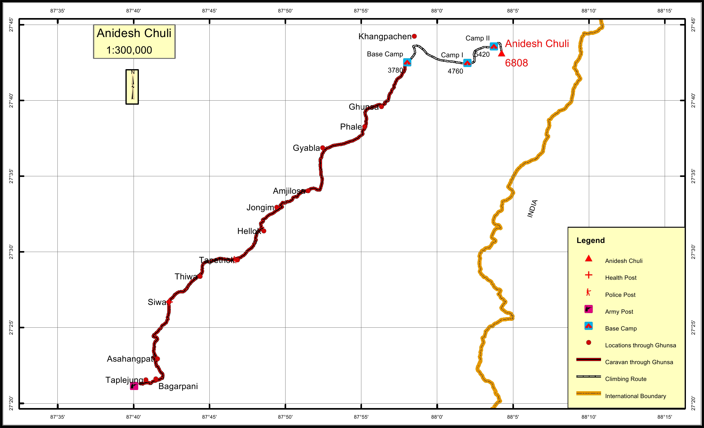
    Taplejung-Siwa-Tapethok-Gyabla-Ghunsa-BC
  • Caravan route
    length:

    60.6KM through Taplejung
  • Climbing route
    length:

    15.2KM through Taplejung
  • Duration:

    35 Days

Maps