Annapurna I Overview

Peak ID

ANN1

Status

Opened

Elevation

8091 M / 26545 FT

Latitude

28º 35' 44

Longitude

83º 49' 21

History

1st ascent on

June 3,1950

1st ascent by

Maurice Herzog ( France ),
Louis Lachenal ( France ),

Mount Annapurna I is the tenth highest mountainin the world at 8,091 metres (26,545 ft). It is in the Annapurna massif of Nepal Himalayas. Annapurna massif includes many peaks over 7,000 metres. The massif is bounded by the Kali Gandaki Gorgeto the west, the Marshyangdi Riverin the north and east, and by Pokhara Valleyin the south. At the western end, the massif encloses a high basin called the Annapurna Sanctuary. In 1950, Maurice Herzogled a French expedition to its summit, making it the first of the eight-thousandersto be successfully climbed. The Annapurna peaks are among the world's most dangerous mountains to climb. The mountain is named after Annapurna, the Hindu goddess of food and nourishment, who is said to reside there. The name Annapurna is derived from the Sanskritlanguage—purnameans filled and annameans food. Annapurna I is located on the border of Myagdi and Kaski districts in Gandaki province of Nepal. Annapurna I is 6.1 km west northwest of Singu Chuli. Khangsar Khang West is 4.0 km east northeast and Varaha Shikhar is 2.7 km south southwest of Annapurna I.

Location

  • Province:

    Gandaki Pradesh
  • Mountain Range:

    Annapurna
  • District:

    Myagdi/Kaski
  • Municipality/Rural Municipality:

    Annapurna/Annapurna
  • Border With

    china

Nearest help center

( from the basecamp along
the caravan route )
  • Police post:

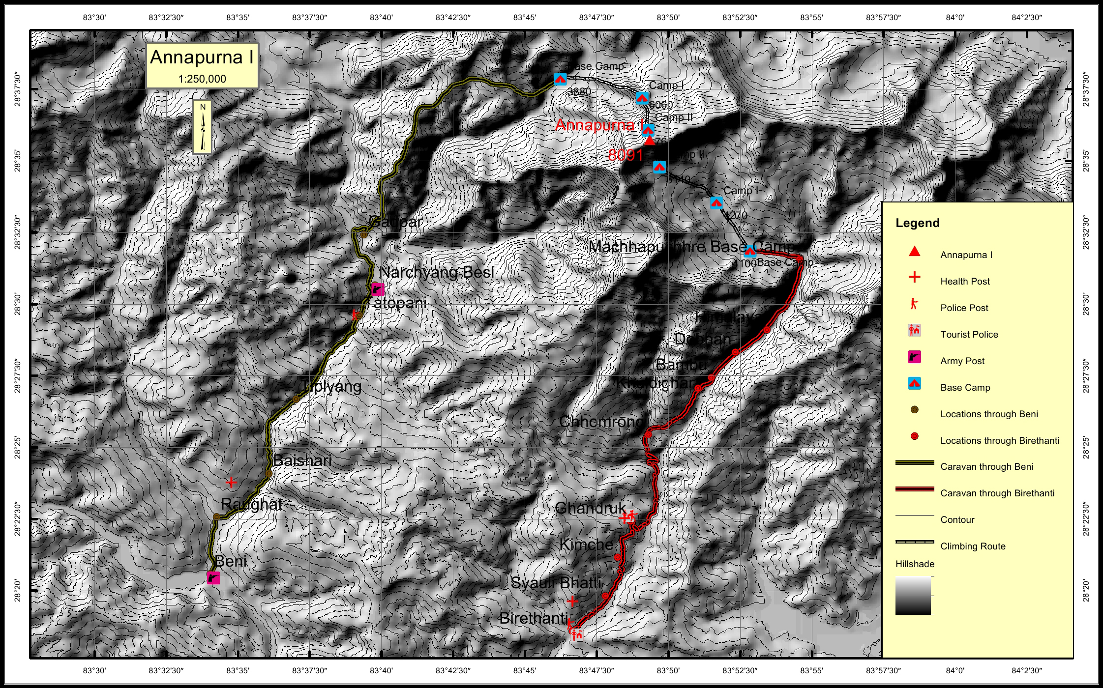
    Tatopani 26KM Ghandruk 26.6KM
  • Army post:

    Narchyang Besi 23.9KM Beni 47.1KM
  • Health centre/post:

    Ghandruk 26.6KM Tatopani 25.4KM
  • Tourist police post:

    Ghandruk 26.6KM
  • Nearest settlement :

    Himalaya 8.2KM Gadpar 18.7KM

Royalty Fees

  • Nepalese (NRs):

    Spring 10000, Autumn 5000, Winter/Summer 2500
  • Foreigners (USD):

    Spring 1800, Autumn 900, Winter/Summer 450

How to get there

  • From Kathmandu:

    Drive to Lumle
  • Caravan route:

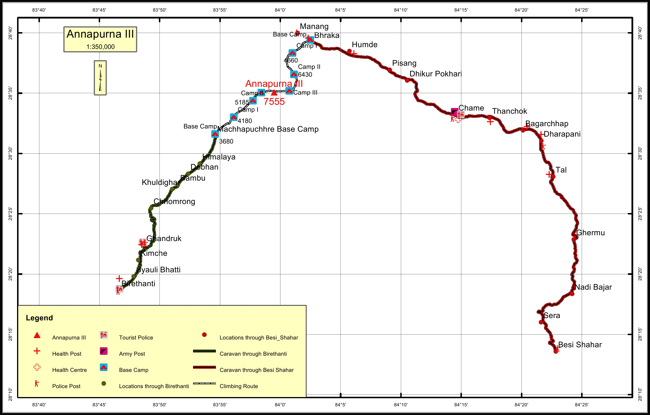
    Pokhara-Beni-Lete-Thulobugin-MirstiKhola-BC/Gandrung-Annapurna BC
  • Caravan route
    length:

    35.4KM through Birethanti, 47.1KM through Beni
  • Climbing route
    length:

    9.5KM through Birethanti, 7.7KM through Beni
  • Duration:

    50 Days

Maps

Four Faces

Annapurna I (East Face (Mardi BC)

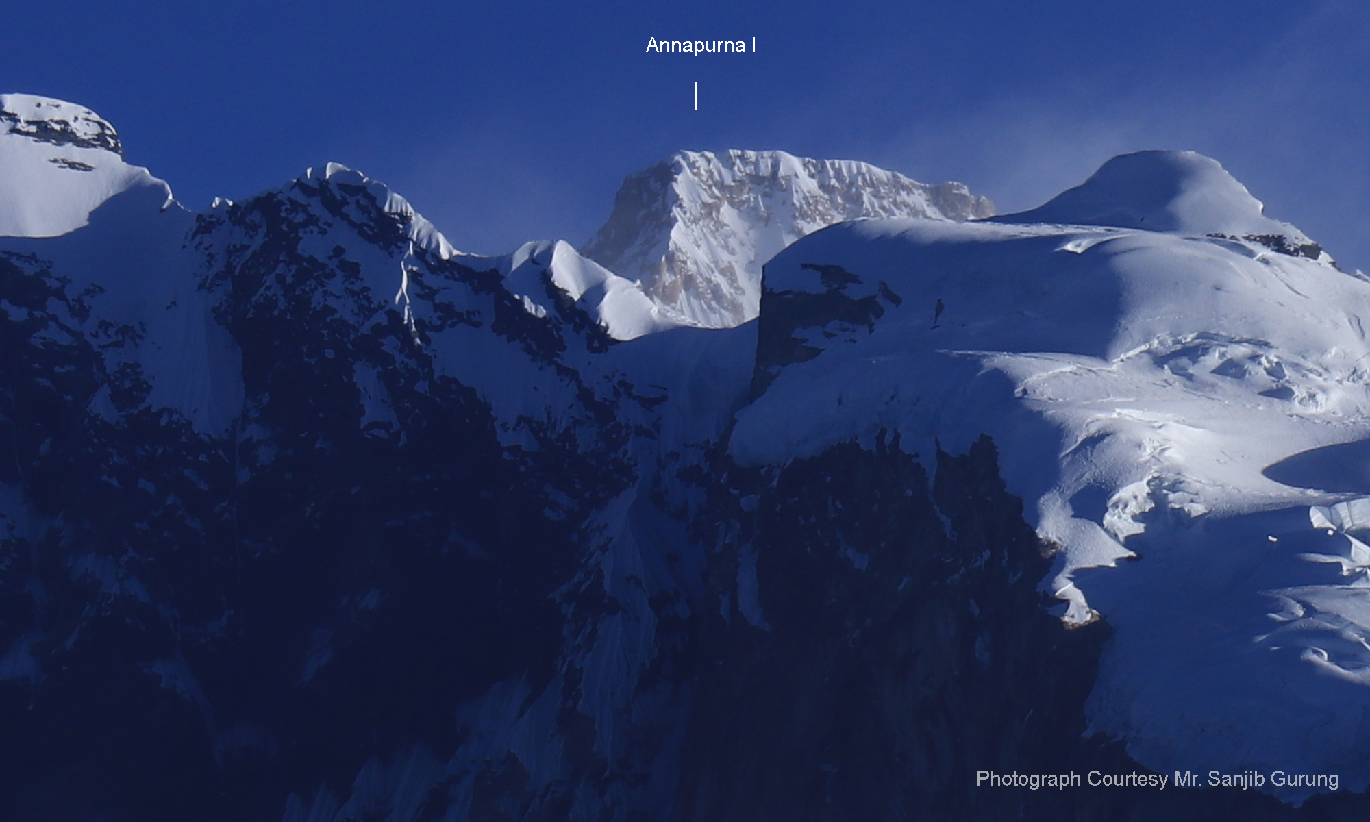
Annapurna I (South West from Poon Hill)