Home
About
About Peak Profile
NHPP Committee
Our Staffs
Peak Profile
All Peaks
5800m - 6499m Peaks
6500m - 6999m Peaks
7000m - 7499m Peaks
7500m - 7999m Peaks
Above 8000m Peaks
Contact
Home
About
About Peak Profile
NHPP Committee
Our Staffs
Peak Profile
All Peaks
5800m - 6499m Peaks
6500m - 6999m Peaks
7000m - 7499m Peaks
7500m - 7999m Peaks
Above 8000m Peaks
Contact
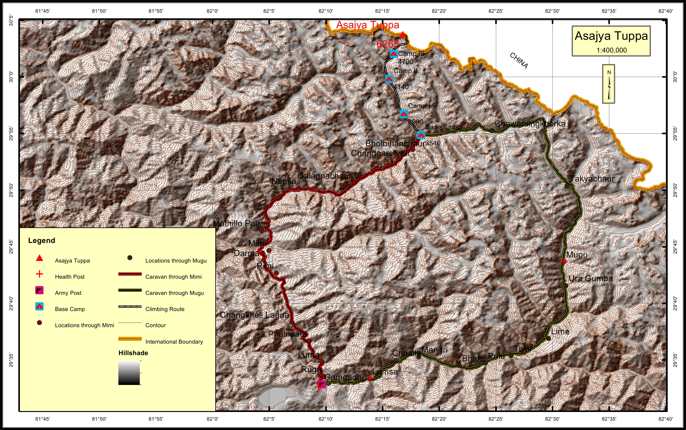
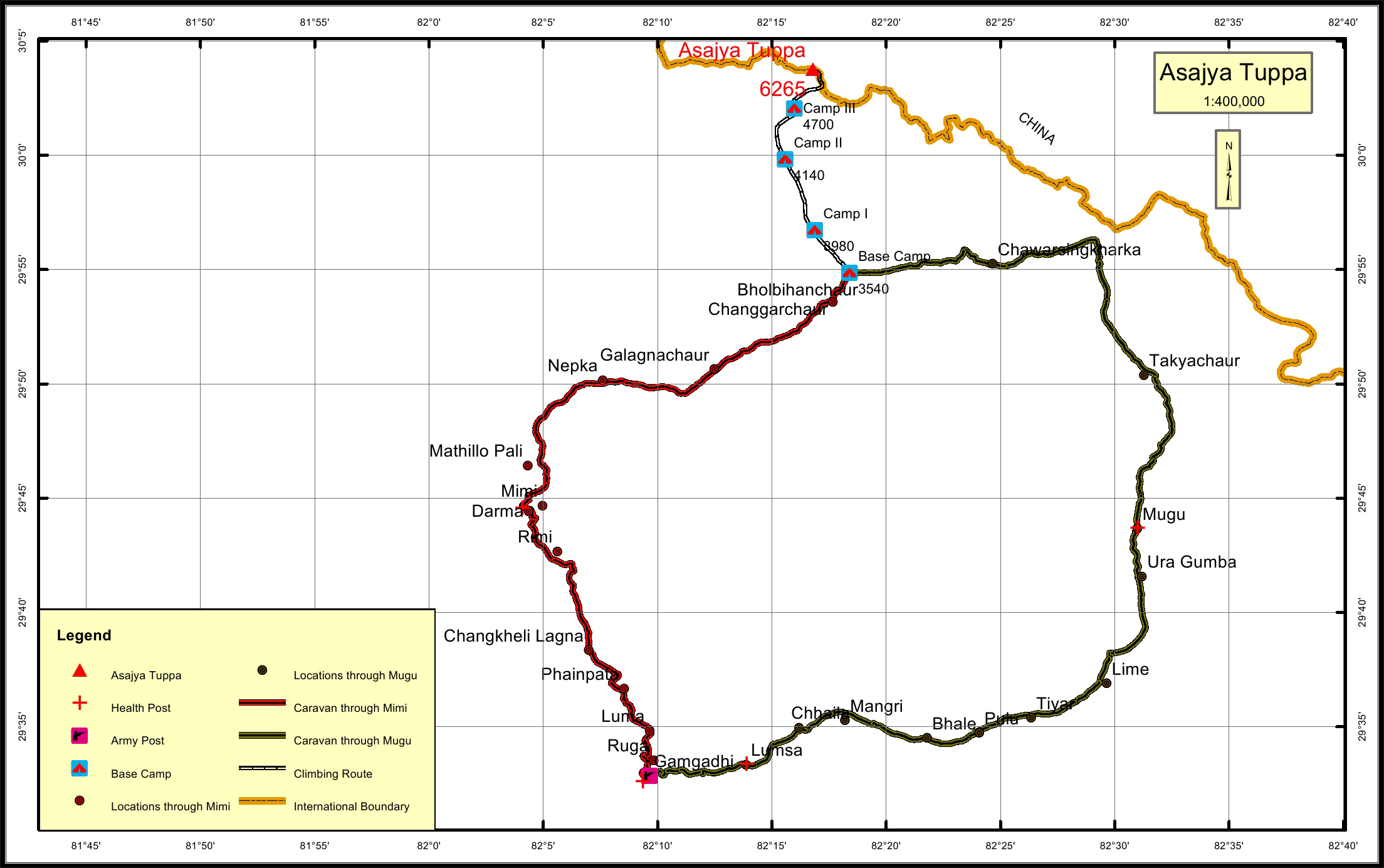
Asajya Tuppa Overview
Peak ID
ASJM
Status
Opened
Elevation
6265 M / 20554 FT
Latitude
30° 03'45
Longitude
82° 16'47
Location
Province:
Karnali Pradesh
Mountain Range:
Gorakh
District:
Humla/NC
Municipality/Rural Municipality:
Chankheli/NC
Nearest help center
( from the basecamp along
the caravan route )
Police post:
Gamgadi 66.7KM through Mimi, Gamgadi 100.3KM through Mugu
Army post:
Gamgadi 66.7KM through Mimi, Gamgadi 100.2KM through Mugu
Health centre/post:
Darma 37KM Mugu 46.5KM
Nearest settlement :
Glagnachaur 13.3KM Mugu 46.5KM
Royalty Fees
Nepalese (NRs):
Spring 4000, Autumn 2000, Winter/Summer 1000
Foreigners (USD):
Spring 250, Autumn 125, Winter/Summer 70
How to get there
From Kathmandu:
By flight to Nepalganj and Gamgadi
Caravan route:
Jumla-Gamgadi-Piplan-Nepka-Bhoblhan chaur-BC\ Rimi-Nepka-Take Khola-BC
Caravan route
length:
66.7KM through Mimi, 100.2KM through Mugu
Climbing route
length:
20.1KM
Duration:
60 Days
Maps
Nepal Himal Peak Profile
Discover the information about mountains in Nepal.
Select All
Province
District
Municipality/Rural Municipality
Himalayan Range
Select All
Secriteriate And Technical Support:
© Copyright Nepal Government. All rights reserved.
Website by
Curves n'Colors