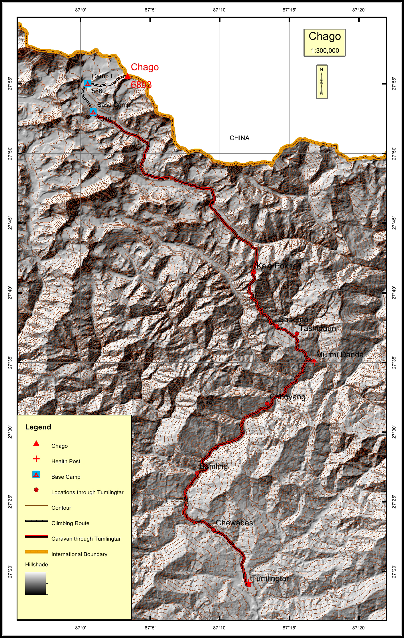
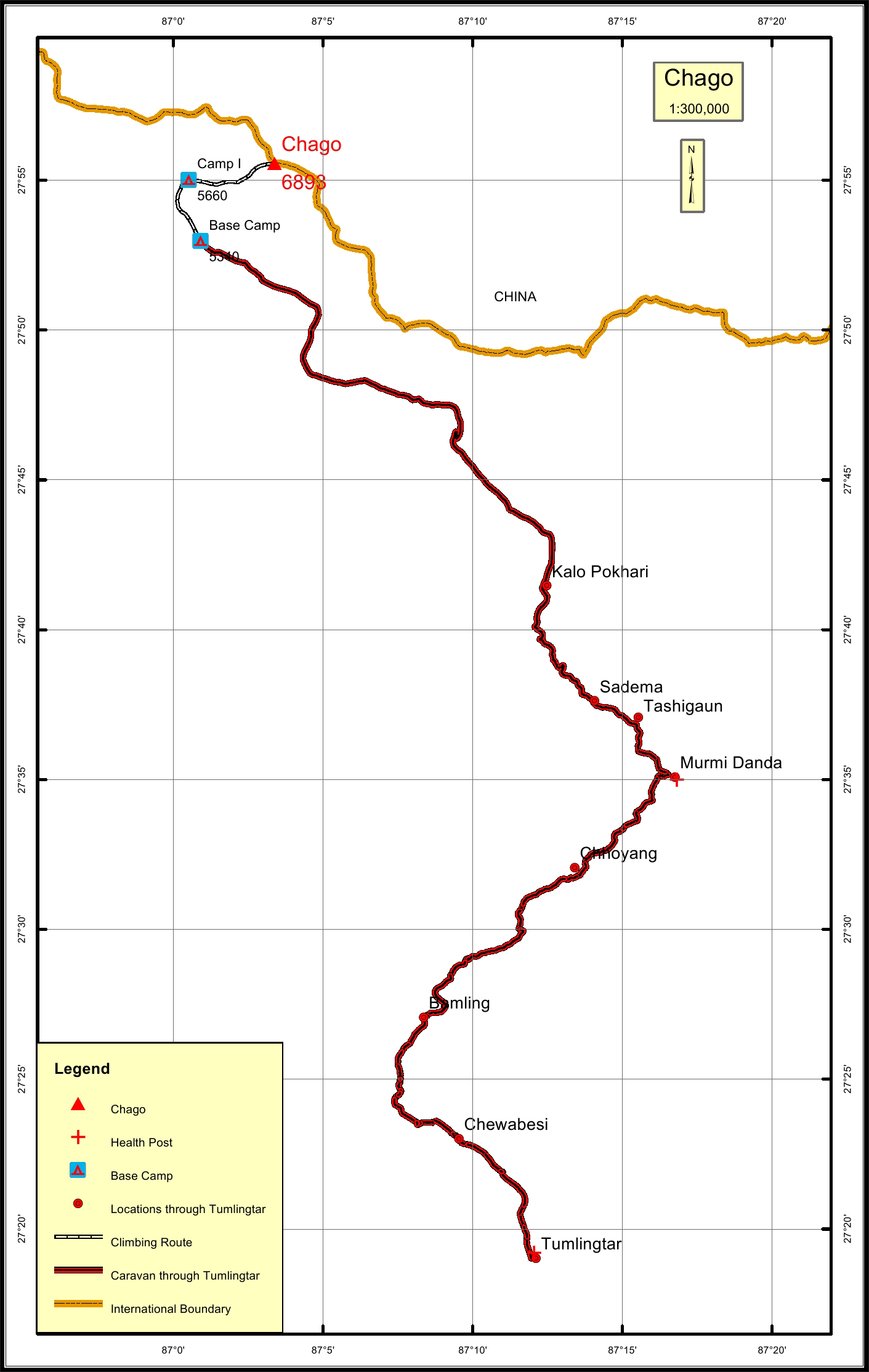
Home
About
About Peak Profile
NHPP Committee
Our Staffs
Peak Profile
All Peaks
5800m - 6499m Peaks
6500m - 6999m Peaks
7000m - 7499m Peaks
7500m - 7999m Peaks
Above 8000m Peaks
Contact
Home
About
About Peak Profile
NHPP Committee
Our Staffs
Peak Profile
All Peaks
5800m - 6499m Peaks
6500m - 6999m Peaks
7000m - 7499m Peaks
7500m - 7999m Peaks
Above 8000m Peaks
Contact
Chago Overview
Peak ID
CHAG
Status
Opened
Elevation
6893 M / 22615 FT
Latitude
27º 55' 34"
Longitude
87º 03' 23"
History
1st ascent on
May29,1954
1st ascent by
Michael Ball,
Urkien Sherpa,
Chago located in Mahalangur range of the Nepalese Himalayas is situated in the Sankhuwasabha district of Province I of Nepal.
Location
Province:
Province 1
Mountain Range:
Mahalangur
District:
Sankhuwasabha/NC
Municipality/Rural Municipality:
Makalu/NC
Nearest help center
( from the basecamp along
the caravan route )
Health centre/post:
Murmi Danda 52.3KM
Nearest settlement :
Sadema 45KM
Royalty Fees
Nepalese (NRs):
Sp 5000, Au 2500, Wi/Su 1250
Foreigners (USD):
Sp 400, Au 200, Wi/Su 100
How to get there
From Kathmandu:
Flight to Tumlingtar
Caravan route:
Tumlingtar-Seduwa-Shipton’s Pass-Shershong-BC/ Lukla-Thangna-West Col-Sherpani Col-Makalu-BC
Caravan route
length:
97.3KM through Tumlingtar
Climbing route
length:
9.5KM
Duration:
42 Days
Maps
Nepal Himal Peak Profile
Discover the information about mountains in Nepal.
Select All
Province
District
Municipality/Rural Municipality
Himalayan Range
Select All
Secriteriate And Technical Support:
© Copyright Nepal Government. All rights reserved.
Website by
Curves n'Colors