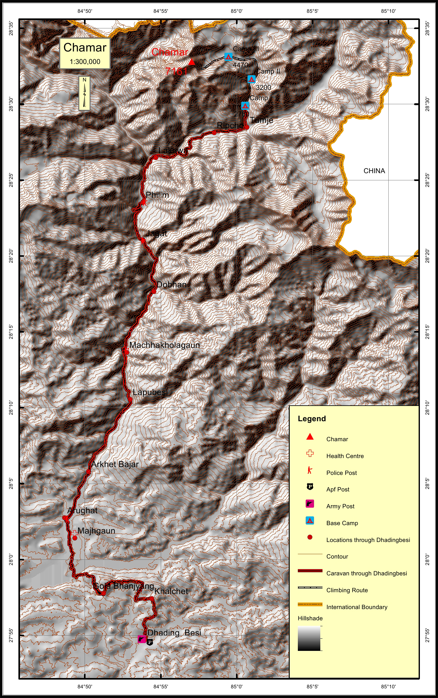
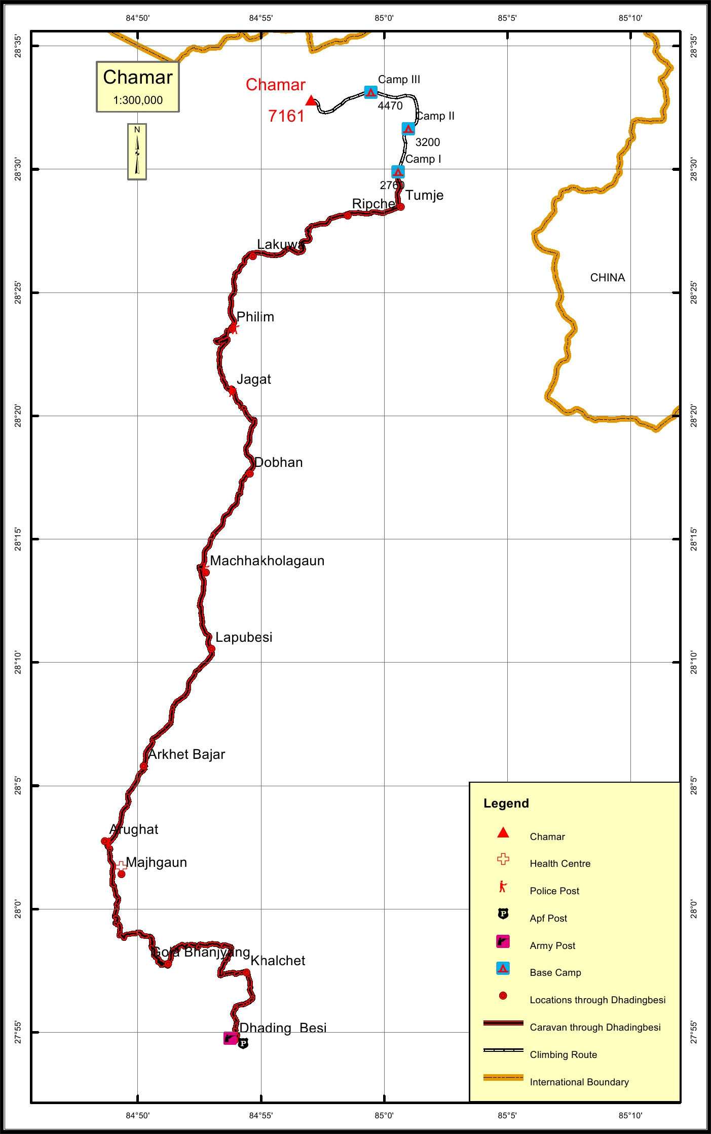
Chamar Overview

Other Name

Shringi Himal, Peak 23

Peak ID

CHMM

Status

Opened

Elevation

7187 M / 23494 FT

Latitude

28º 32' 48

Longitude

84º 57' 02

History

1st ascent on

Jun 05,1953

1st ascent by

Maurice Bishop,
Nyamgel Sherpa,

Chamar is the highest peak of the Sringi Himal, which is a sub-range of the Nepalese Himalayas. It is located in the North Central Region of Nepal, just south of the Tibetan border between the Shyar Khola on the east and the Tom Khola-Trisuli Gandaki Valley on the west. This peak is about 90 km northwest of Kathmandu, and 25 km east of Manslu, the nearest eight-thounsander. It is about 26 km away from Ganesh Himal and 32 km from Himchuli peak.

Location

  • Province:

    Gandaki Pradesh
  • Mountain Range:

    Shringi
  • District:

    Gorkha
  • Municipality/Rural Municipality:

    Chum Nubri

Nearest help center

( from the basecamp along
the caravan route )
  • Police post:

    Philim at the distance of 0KM km
  • Armed police post

    Dhading Besi 101KM
  • Army post:

    Dhading Besi at the distance of 0.1KM km
  • Health centre/post:

    Majhgaun which is situated south of Arughat is the nearest health post at the distance of 0.1KM km from the peak.
  • Nearest settlement :

    Tumje at the distance of 0KM km

Royalty Fees

  • Nepalese (NRs):

    Sp 6000, Au 3000, Wi/Su 1500
  • Foreigners (USD):

    Sp 500, Au 250, Wi/Su 125

How to get there

  • From Kathmandu:

    Approximately it takes about 4 hours by public bus.
  • Caravan route:

    Arughat-Jagat-Tsum Valley-BC
  • Caravan route
    length:

    101KM
  • Climbing route
    length:

    14KM

Maps

Four Faces

Chamar (south face Ganesh Himal BC)