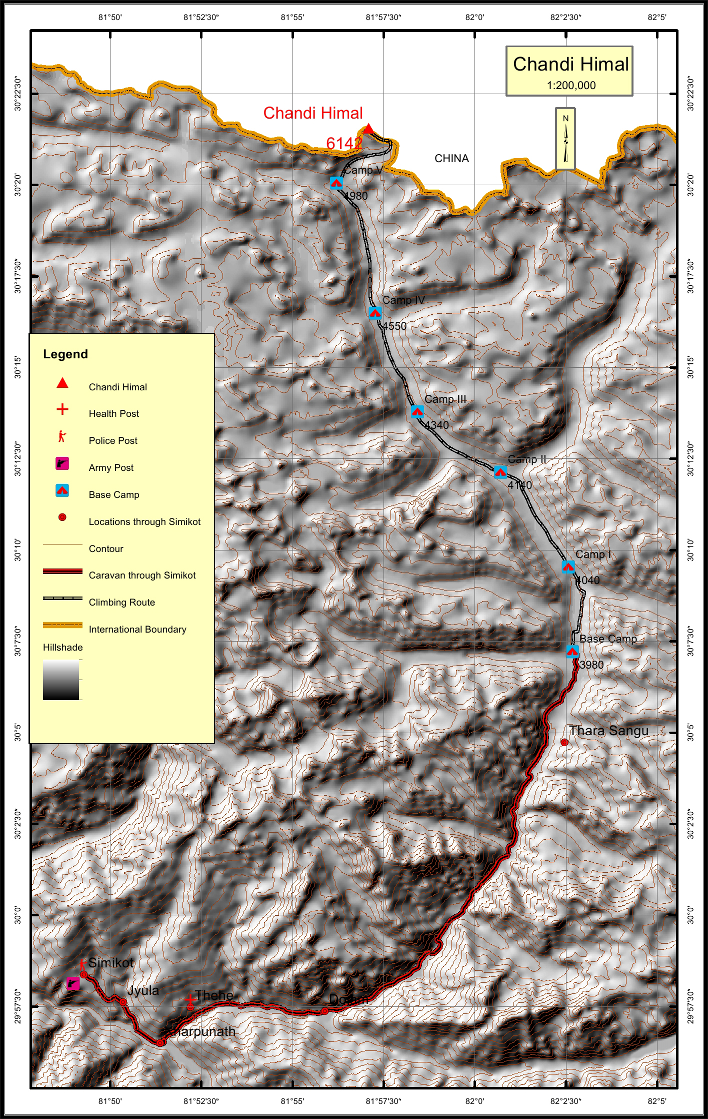
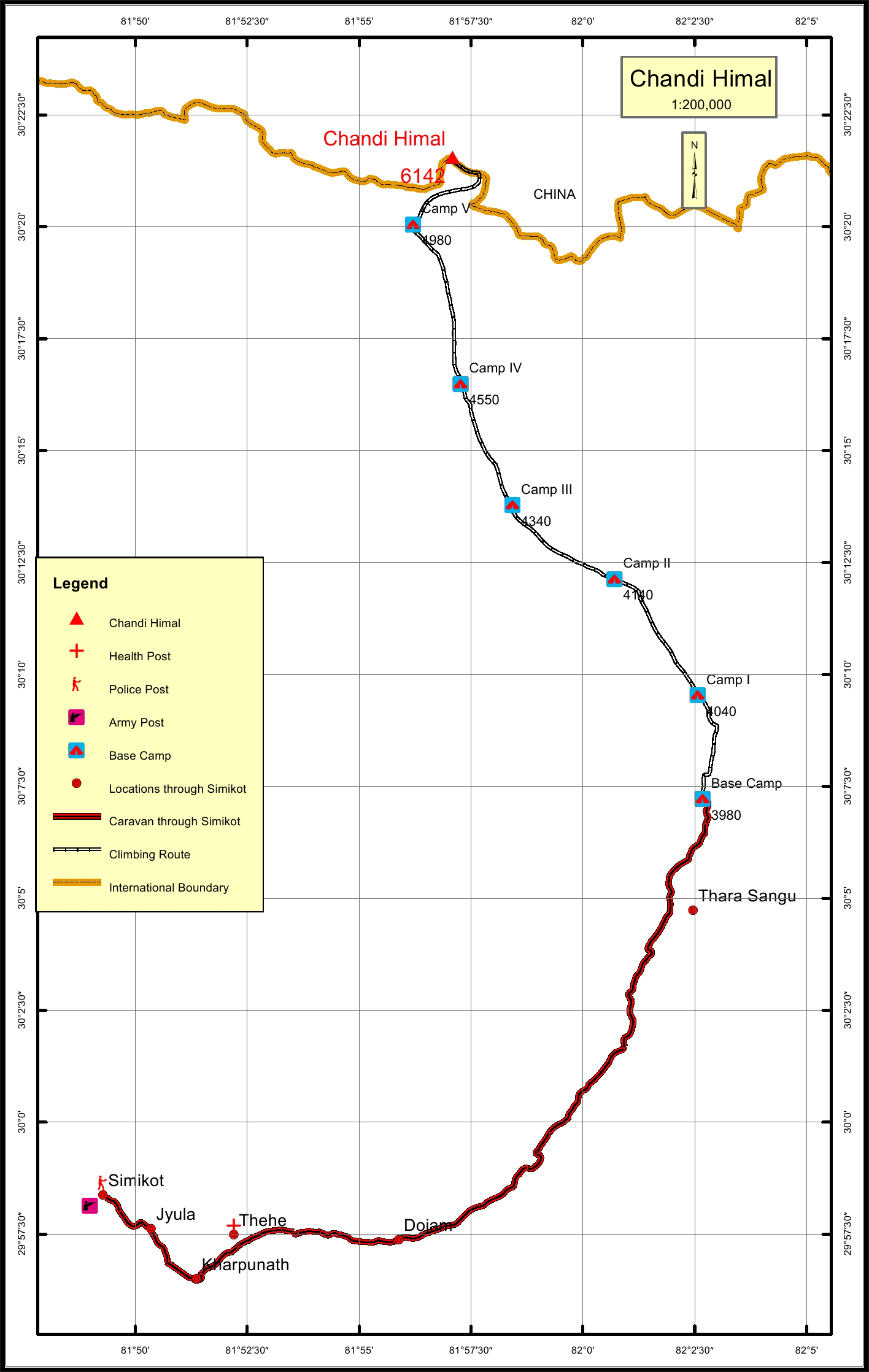
Chandi Himal Overview

Peak ID

CHND

Status

Opened

Elevation

6096 M / 20151 FT

Latitude

30º 21' 33

Longitude

81º 57' 05

Chandi Himal lies towards the western end of the Nepalese Himalayas, north of Changwatang. It is one of the unclimbed mountains of Nepal recently opened for expedition.

Location

  • Province:

    Karnali Pradesh
  • Mountain Range:

    Chandi
  • District:

    Humla/NC
  • Municipality/Rural Municipality:

    Chandi Himal/NC

Nearest help center

( from the basecamp along
the caravan route )
  • Police post:

    Simikot 38KM
  • Army post:

    Simikot 38KM
  • Health centre/post:

    Thehe 30.5KM
  • Nearest settlement :

    Dojam 24KM

Royalty Fees

  • Nepalese (NRs):

    Sp 4000, Au 2000, Wi/Su 1000
  • Foreigners (USD):

    Sp 250, Au 125, Wi/Su 70

How to get there

  • From Kathmandu:

    By flight to Nepalganj and Simikot
  • Caravan route:

    Simikot-Chuwa Khola-Ning Khola-BC
  • Caravan route
    length:

    38KM through Simikot
  • Climbing route
    length:

    32.6KM
  • Duration:

    45 Days

Maps