Changla Overview

Peak ID

CHGL

Status

Opened

Elevation

6563 M / 21532 FT

Latitude

30º 18' 11

Longitude

82º 07' 44

History

1st ascent on

Sep 27,2010

1st ascent by

Hirofumi Kobayashi,
Seiya Nakasukasa,
Yuta Shibayama,
Naoki Yamaguchi,

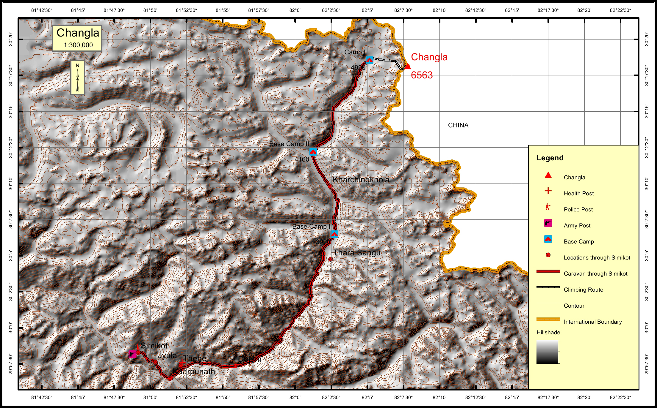
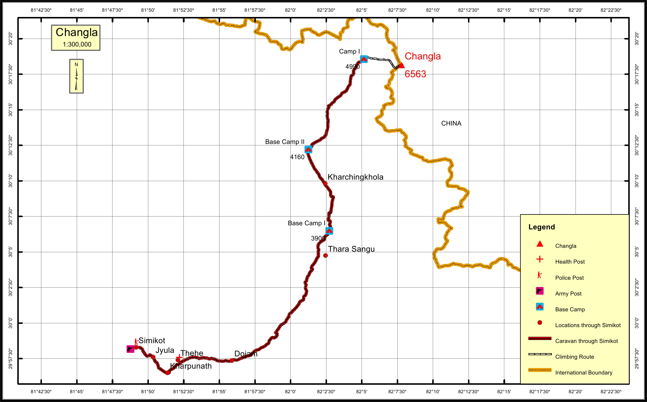
Changla with the summit elevation of 6563 meters is the sub range of Nepalese Himalayas located on the international border or Nepal and Tibet, China. It is on the watershed between Humla Karnali to the west and Yarlung Tsangpo in the East. The Tibetan side is glaciated, and the western side has the rural Humla District of Nepal. It is the highest peak in the Humla region. The summit to this peak gives you a fantastic and unforgettable experience of the beautiful peaks and amazing landscapes.

Location

  • Province:

    Karnali Pradesh
  • Mountain Range:

    Changla
  • District:

    Humla/NC
  • Municipality/Rural Municipality:

    Kharpunath/NC

Nearest help center

( from the basecamp along
the caravan route )
  • Police post:

    Simikot 62.9KM
  • Army post:

    Simikot 62.9KM
  • Health centre/post:

    Thehe 55.4KM
  • Nearest settlement :

    Dojam 50.3KM

Royalty Fees

  • Nepalese (NRs):

    Rs. 5000/- in summer, Rs. 2500/- in autumn and Rs. 1,250/- in winter
  • Foreigners (USD):

    $400.00 in summer, $200.00 in autumn and $100.00 in winter

How to get there

  • From Kathmandu:

    By flight to Nepalganj and Simikot
  • Caravan route:

    Simikot-Dharapani-Kanche-Bhimthaukoti-BC
  • Caravan route
    length:

    62.9KM through simikot
  • Climbing route
    length:

    5.1KM
  • Duration:

    45 Days

Maps