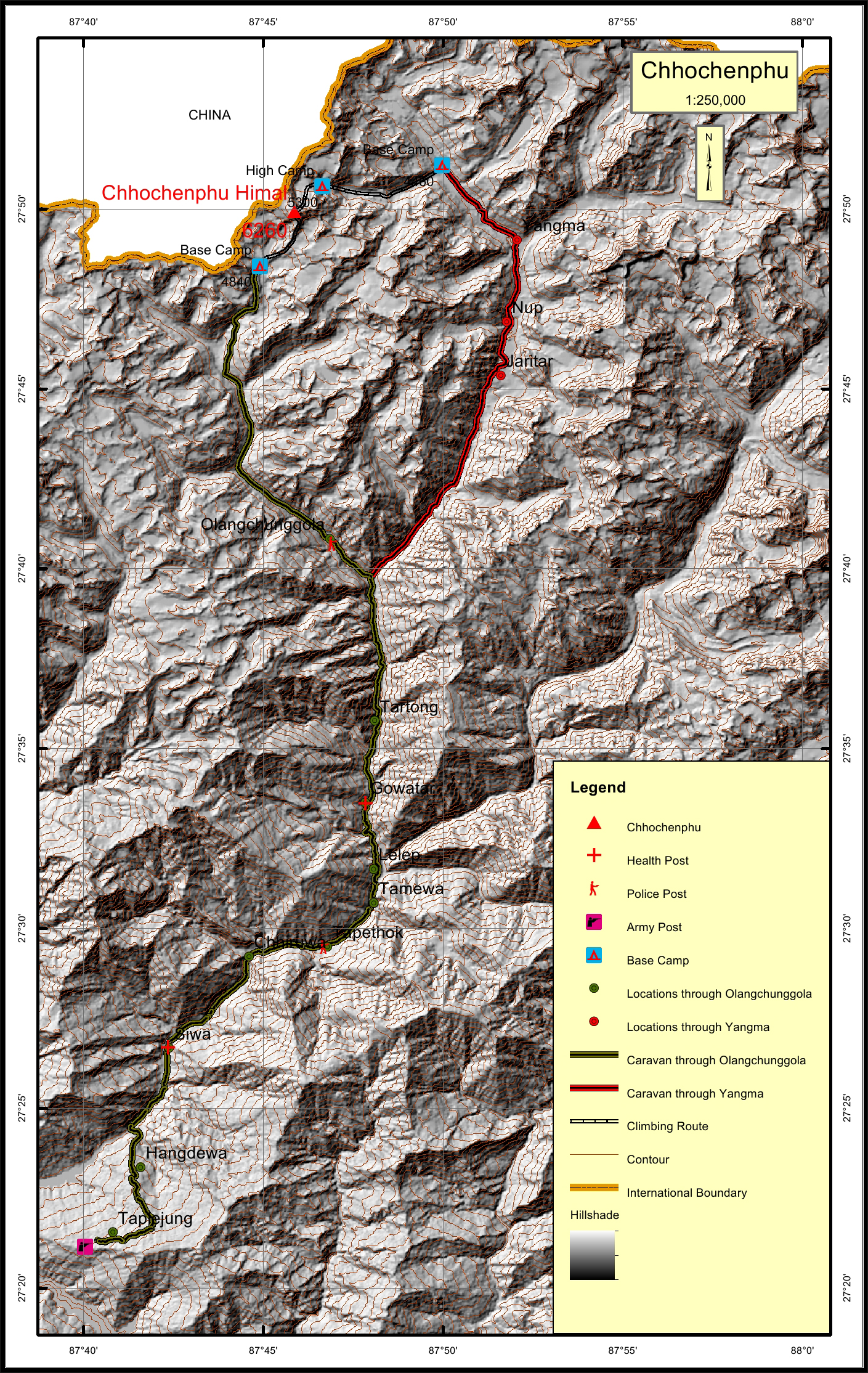
Chhochenphu Himal Overview
Peak ID
CPHH
Status
Opened
Elevation
6260 M / 20538 FT
Latitude
27º 49' 55
Longitude
87º 45' 52
Chhochcenphu Himal, part of Umbak sub-range of the Nepalese Himalayas is located in the Taplejung District of Eastern Development Region.
Location
Nearest help center
( from the basecamp alongthe caravan route )
Royalty Fees
How to get there
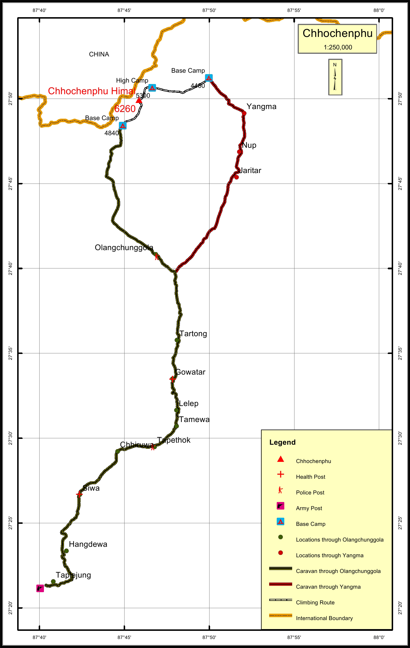
Maps