Chola Tse * Overview
Other Name
Arakam Tse, Tsolatse,Jobo Lhaptshan
Peak ID
CHOL
Status
Opened
Elevation
6423 M / 21073 FT
Latitude
27º 55' 13"
Longitude
86º 46' 08"
Managed By
NMA
History
1st ascent on
22 Apr, 1982 A.D
1st ascent by
John Roskelley,
Galen Rowell,
Vern Clevenger,
Bill O'Connor,
Galen Rowell,
Vern Clevenger,
Bill O'Connor,
It is also known as Arkam Tse, Tsolatse or Jobo Lhaptshan. Chola Tse lies in the Khumbu Region of the Nepalese Himalayas. It is connected to Taboche Himal by a long ridge. The north and east face of Choa Tse can be viewed from Dughla on the trail of Mount Everest base camp. Chola Tse is a peak with a stunning view with narrow icy, snowy ridges and steep falls. In Tibetan language Cho mean Lake, La mean pass and Tse mean Peak so Literally Chola Tse peak “Lake pass Peak”.
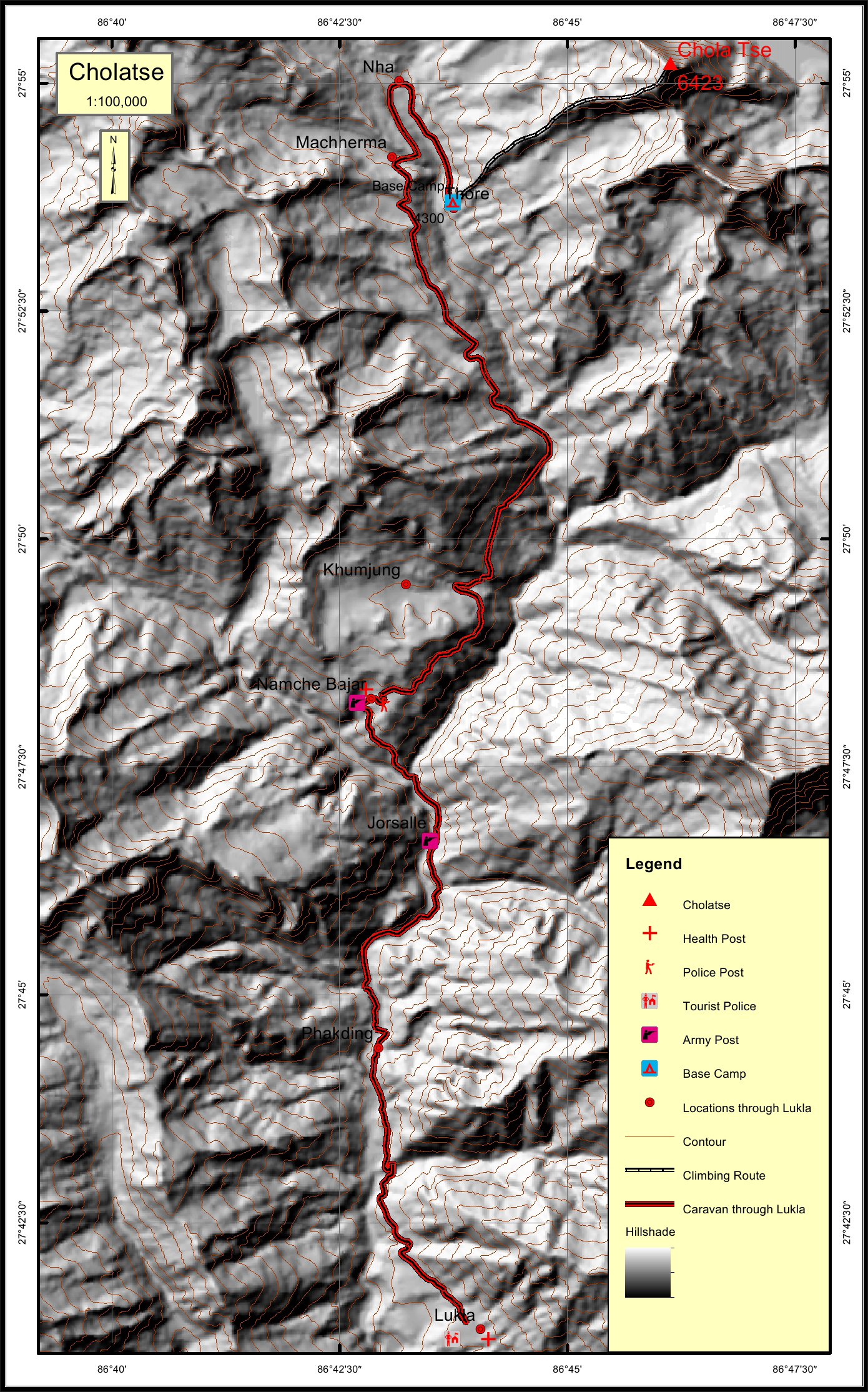
Location
Nearest help center
( from the basecamp alongthe caravan route )
Royalty Fees
How to get there
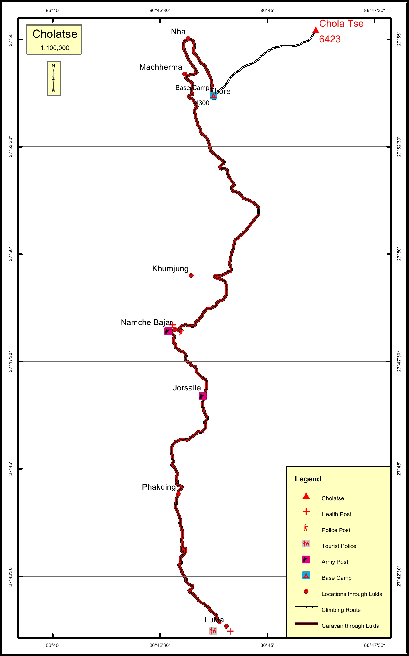
Maps
Four Faces
.jpg)
Chola Tse (East face from EBC)
_img_7837.jpg)