Chukyima Go Overview
Other Name
Chugimago
Peak ID
CHUG
Status
Opened
Elevation
6258 M / 20531 FT
Latitude
27° 49'56"
Longitude
86° 27'09"
History
1st ascent on
Oct, 1952 A.D
1st ascent by
Tom Mackinnon,
George Roger,
Douglas Scott,
Tom Weir,
Ang Dawa Sherpa,
Dawa Tenzing Sherpa,
Mingma Sherpa,
George Roger,
Douglas Scott,
Tom Weir,
Ang Dawa Sherpa,
Dawa Tenzing Sherpa,
Mingma Sherpa,
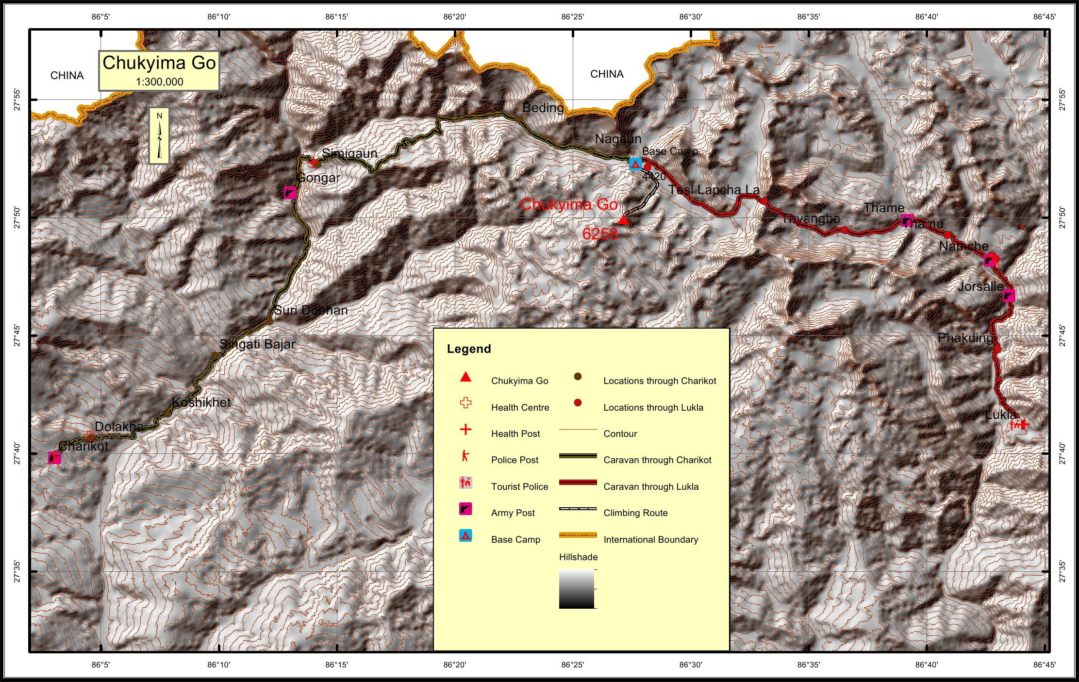
Chukyima Go is in the Nepal Himalayas in the mountain range of Rolwaling Himal. Chukyima Go is an open mountain peak for expedition. Chukyima Go is on the boundary of Ramechhap and Dolakha district in Bagmati Province. Chukyima Go is on the boundary of Garishankar and Uma Kunda gaupalika. Chukyima Go is 3.7km south west of Tso Rolpa Glacier. Chukyima Go is 2.3km northeast of Ramdong Go and 7.8km northwest of Likhu Chuli II. Nagaun is 5.4km northwest of Chukyima Go.
Location
Nearest help center
( from the basecamp alongthe caravan route )
Royalty Fees
How to get there
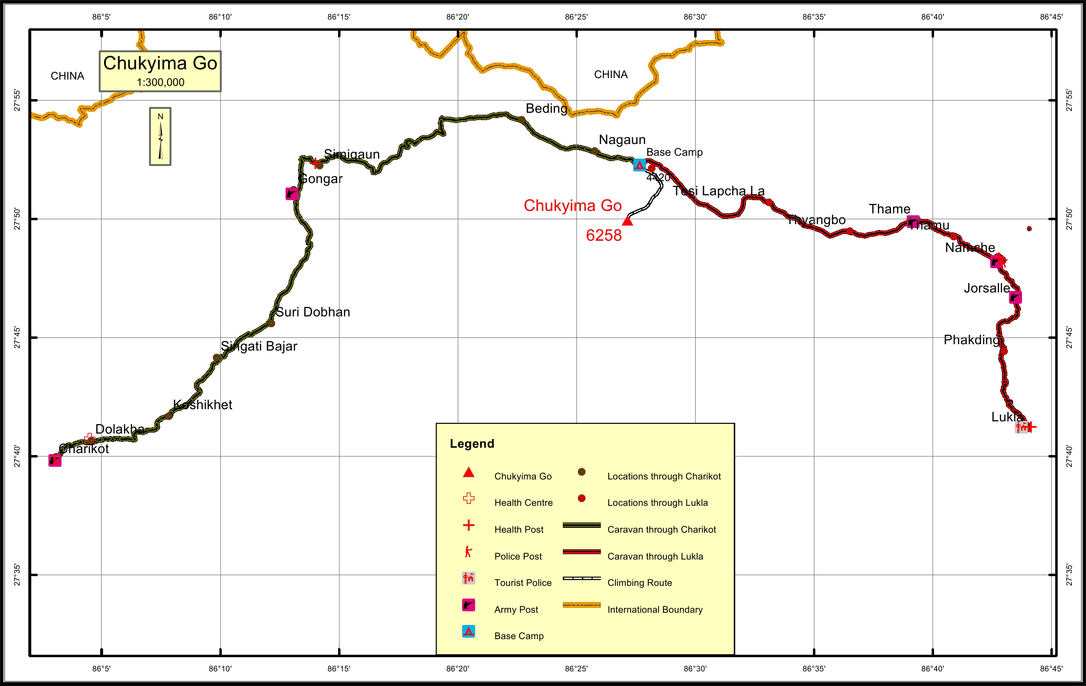
Maps
Four Faces
.jpg)