Dorje Lyakpa Overview
Other Name
Dorje Lhakpa
Peak ID
DORJ
Status
Opened
Elevation
6966 M / 22854 FT
Latitude
28º 10' 26"
Longitude
85º 46' 52"
History
1st ascent on
Oct 18,1981
1st ascent by
Kunio Kataoka,
Makoto Anbe,
Kazunari Murakami,
Eiichi Shingyoji,
Pemba Tsering Sherpa,
Makoto Anbe,
Kazunari Murakami,
Eiichi Shingyoji,
Pemba Tsering Sherpa,
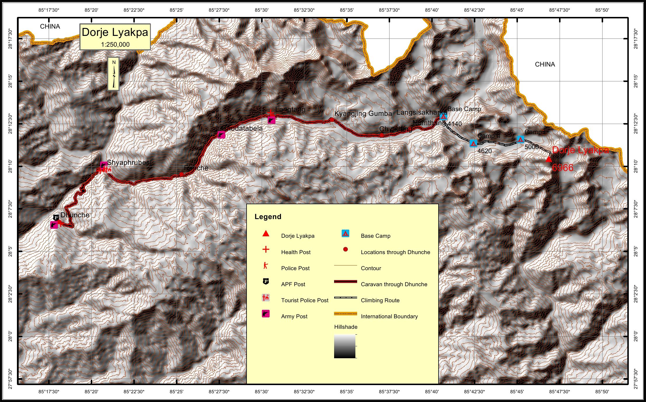
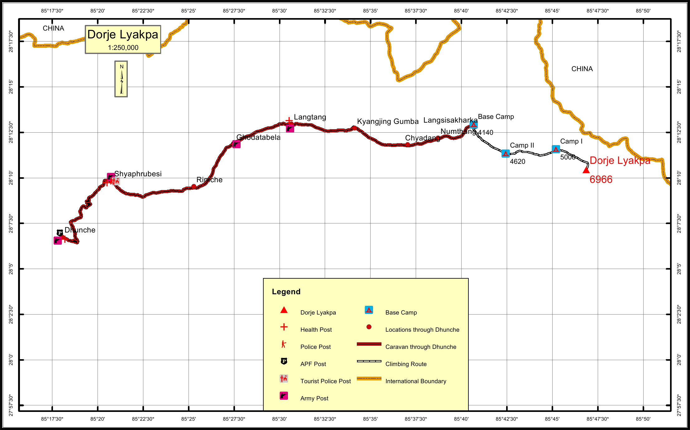
Dorje Lyakpa is in Jugal Mountain Range of Nepal Himalaya, lies on a ridge going south west from the highest peak of Jugal Mountain Range at 3.4km distance. Dorje Lyakpa is 6.8km west from Gyalzen Peak. Dorje Lyakpa is 7.4km east of Urkenmang. Dorje Lyakpa located in Bagmati Pronince and on the boundary of Rasuwa and Sindhupalchok districts of Nepal. Dorje Lyakpa has a pyramid shaped figure and is visible from Kathmandu valley.
Location
Nearest help center
( from the basecamp alongthe caravan route )
Royalty Fees
How to get there
Maps