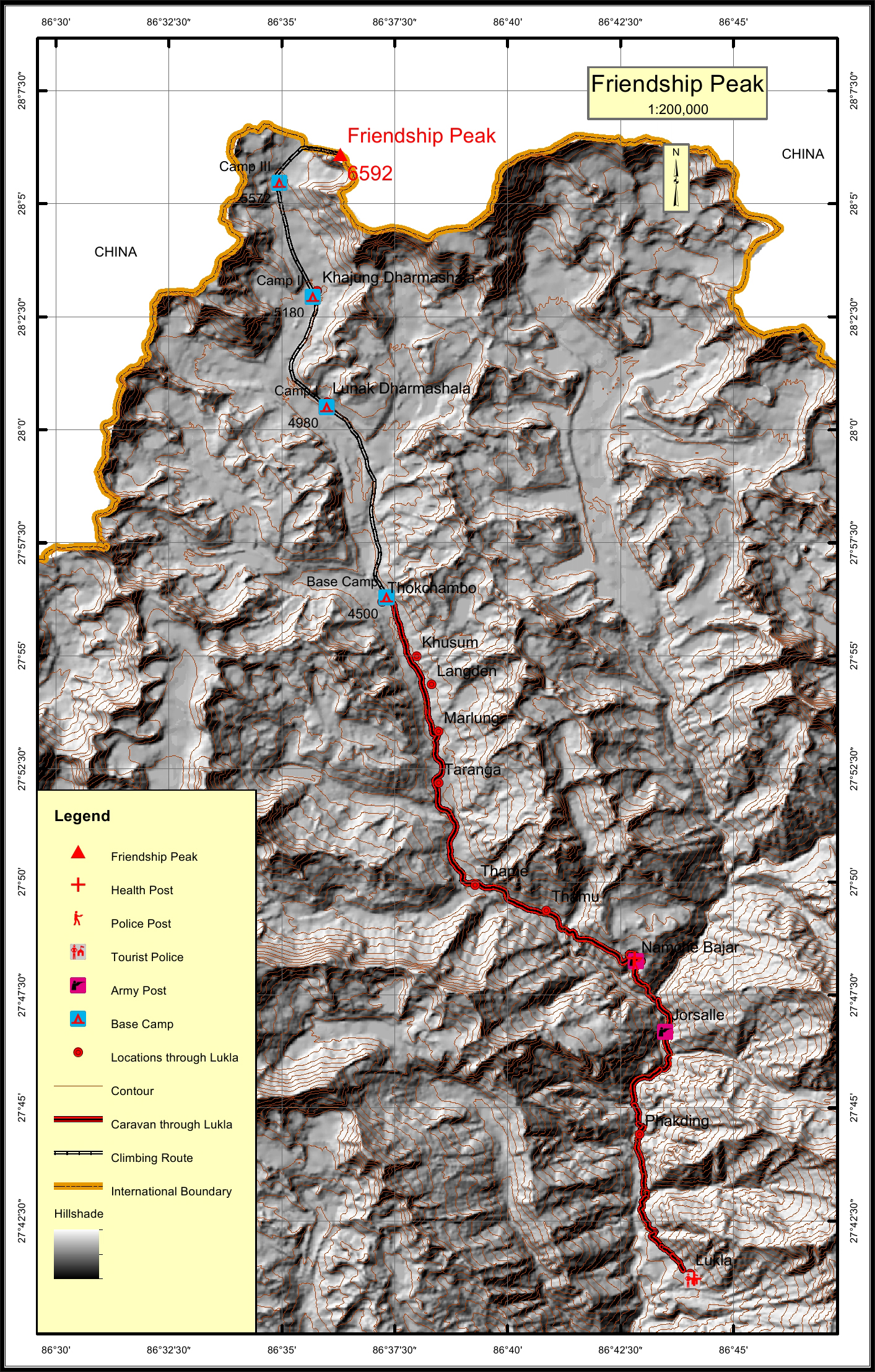
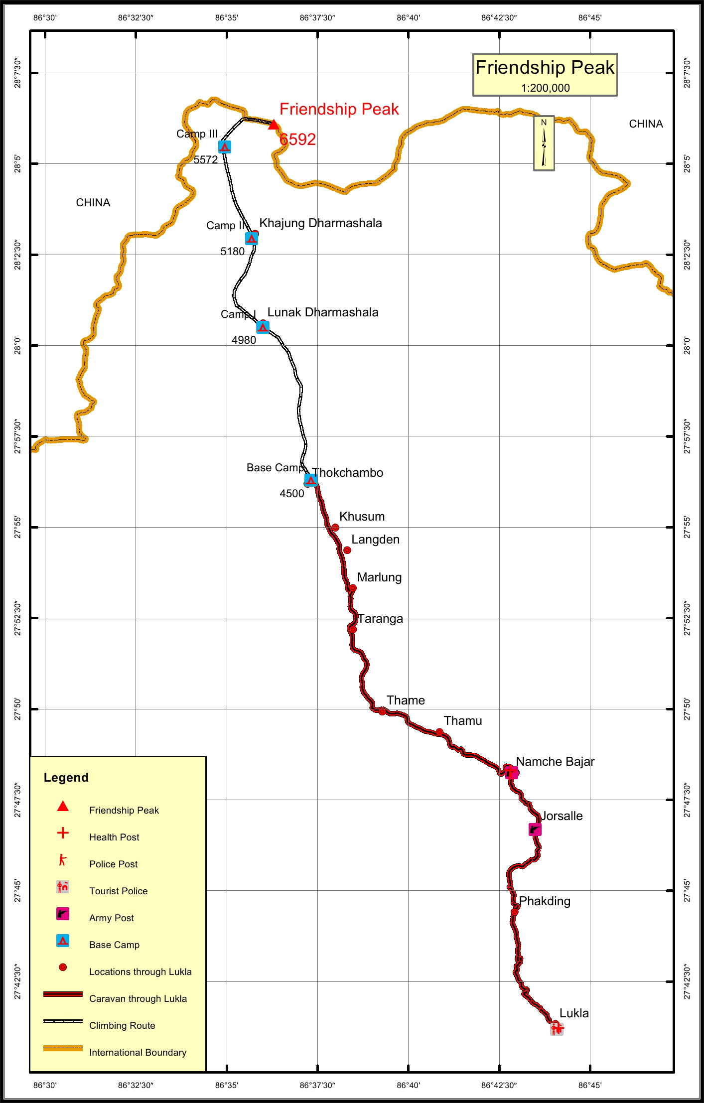
Friendship Peak Overview

Other Name

Nupche Kang, Nupche Himal

Peak ID

FRND

Status

Opened

Elevation

6592 M / 21627 FT

Latitude

28° 06'05"

Longitude

86° 36'18"

Friendship Peak, part of Mahalangur range of the Nepalese Himalayas, is located in the Solukhumbu District of Eastern Nepal.

Location

  • Province:

    Province 1
  • Mountain Range:

    Mahalangur
  • District:

    Solukhumbu/NC
  • Municipality/Rural Municipality:

    Khumbu Pasang Lhamu/NC

Nearest help center

( from the basecamp along
the caravan route )
  • Police post:

    Namche 22.7KM
  • Army post:

    Namche 22.7KM
  • Health centre/post:

    Namche 22.7KM
  • Tourist police post:

    Lukla 40.2KM
  • Nearest settlement :

    Thokchambo

Royalty Fees

  • Nepalese (NRs):

    Spring 5000, Autumn 2500, Winter/Summer 1250
  • Foreigners (USD):

    Spring 400, Autumn 200, Winter/Summer 100

How to get there

  • From Kathmandu:

    Flight to Lukla
  • Caravan route:

    Lukla-Namche-Thame-Chule-Lunak-BC
  • Caravan route
    length:

    40.2KM through Lukla
  • Climbing route
    length:

    21.9KM
  • Duration:

    28 Days

Maps