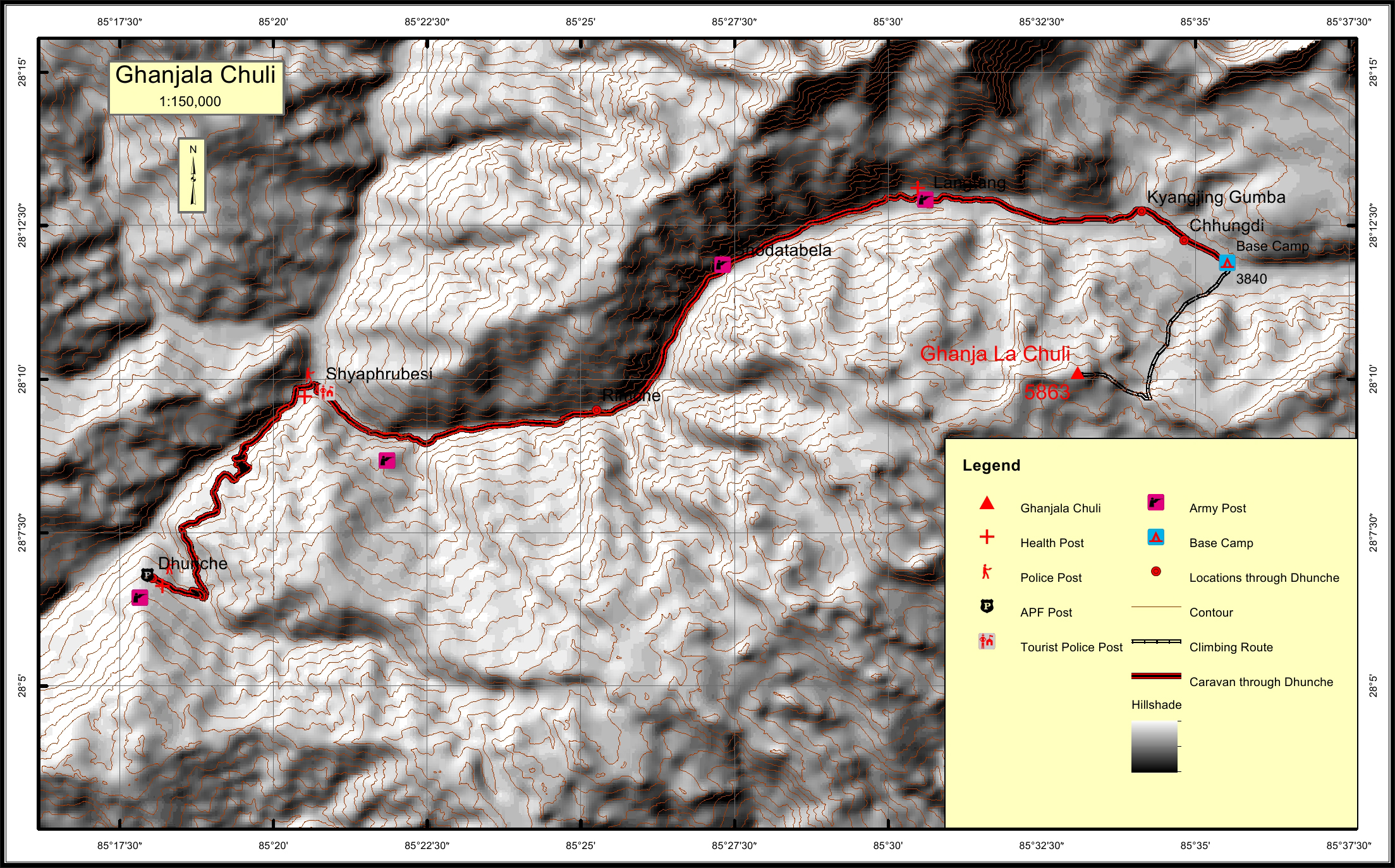
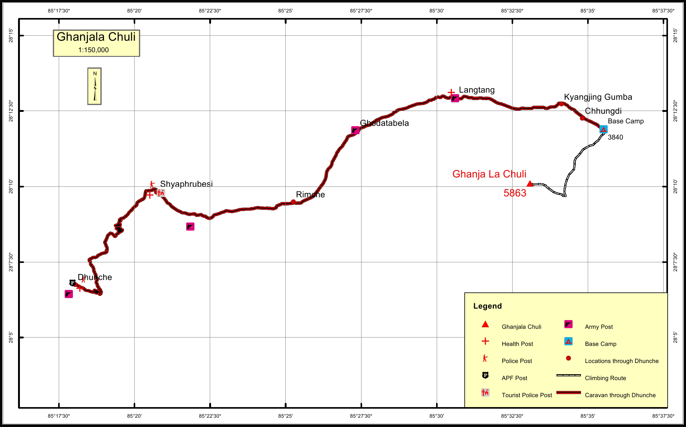
Ghanja La Chuli * Overview
Ganja La Chuli (5,844 m) is the fabulous looking peak to the south of Kyanjin
Gompa, the destination village of the popular Langtang Trek in the Langtang
National Park.
The normal route to the summit is via the snowy north-east ridge. Much of
the climb is straightforward, but there is one fairly steep section on 40 to 55
degree snow where belaying is necessary.
The route is approached on the trail across the Ganja La, the tricky but
direct pass from Langtang to Helambu. The climb is often incorporated into a
crossing of the pass and can be done with two camps. The first is Ganja La
base camp some 500 meters above Kyanjin Gompa and the second a high
camp at around 4,900 meters. The summit offers sublime views of the peaks
lying along the Langtang Valley and into Tibet.
The accessibility of Langtang from Kathmandu and the number of other,
lower altitude peaks, make Langtang a great choice for a short climbing trip.
Location
Nearest help center
( from the basecamp alongthe caravan route )


