Gurja Himal Overview

Peak ID

GURJ

Status

Opened

Elevation

7193 M / 23599 FT

Latitude

28º 40' 26"

Longitude

83º 16' 40"

History

1st ascent on

Nov 01,1969

1st ascent by

Tomokuni Saeki,
Lhakpa Tenzing Sherpa,

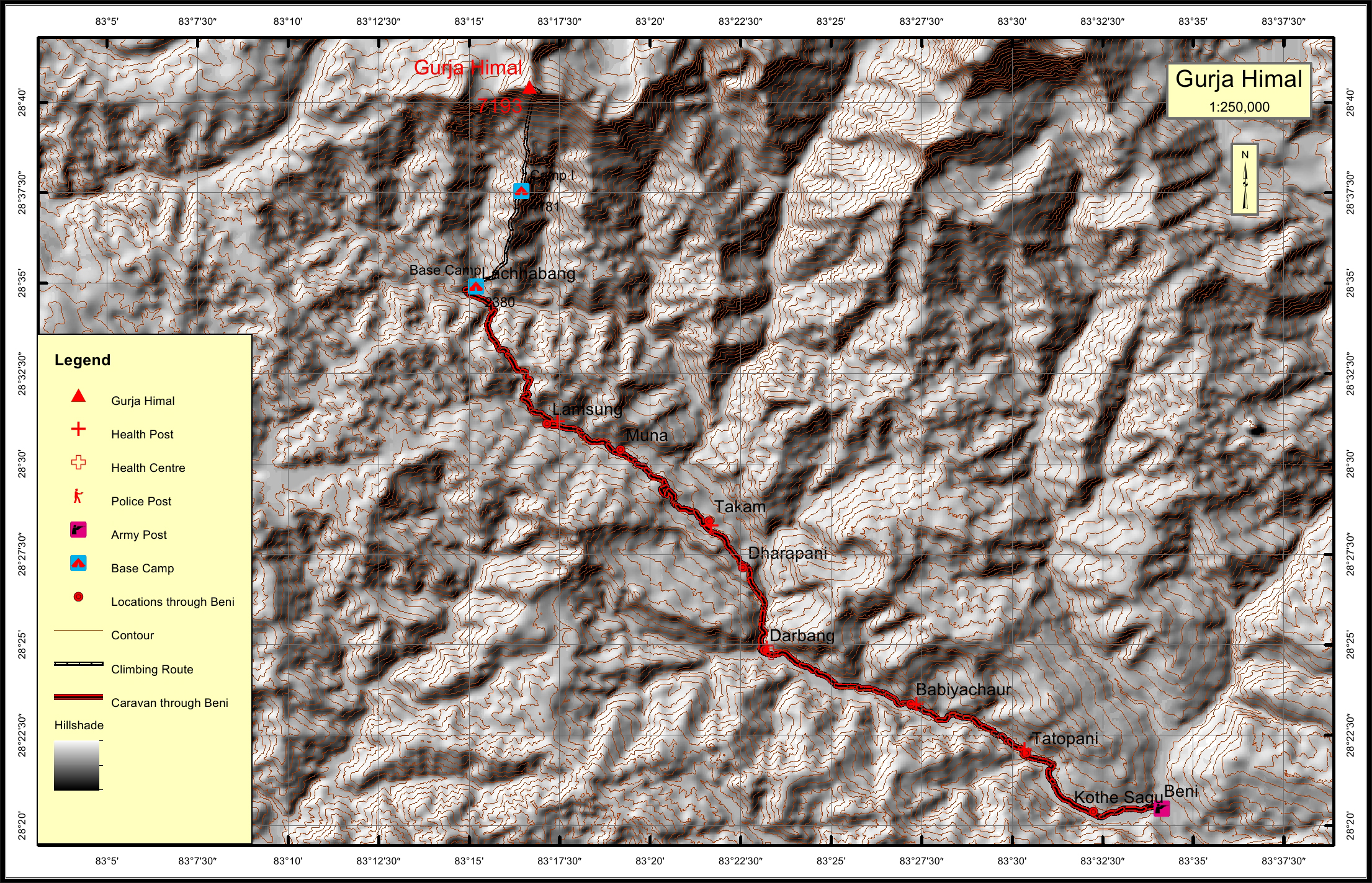
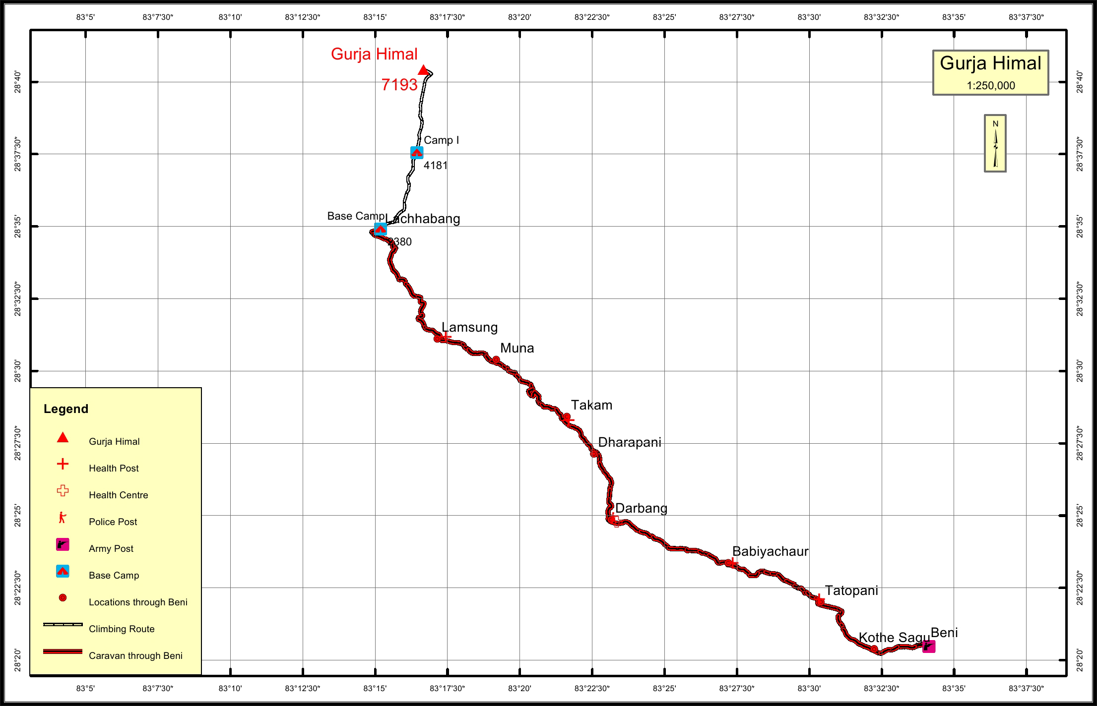
It is named after the nearby village of Gurja in mid west Nepal. Gurja himal, located at the lap of south face of Dhaulagiri Himal is 21.3km west of Dhaulagiri I. The Gurja Himal is separated by a 6010 meter high pass from the Ghustang (6529m) located at 3.0 km. to the west.

Location

  • Province:

    Gandaki Pradesh
  • Mountain Range:

    Dhaulagiri
  • District:

    Myagdi
  • Municipality/Rural Municipality:

    Dhawalagiri

Nearest help center

( from the basecamp along
the caravan route )
  • Police post:

    Darbang at a distance of 0KM
  • Army post:

    Beni at a distance of 0.1KM
  • Health centre/post:

    Lamsung at a distance of 0KM
  • Nearest settlement :

    Lachhabang

Royalty Fees

  • Nepalese (NRs):

    Rs. 6000.00 during spring, Rs. 3000.00 for autumn and Rs. 1500.00 during winter/summer seasons
  • Foreigners (USD):

    US$ 500.00 for spring, US$ 250.00 in autumn and US$ 125.00 during winter/summer seasons

How to get there

  • From Kathmandu:

    By flight to Pokhara and then drive to Beni or drive to Beni
  • Caravan route:

    Beni-Darbang-Dharaapani-Budzang Kharka-BC
  • Caravan route
    length:

    52.3KM through Beni
  • Climbing route
    length:

    11.4KM
  • Duration:

    50 Days

Maps