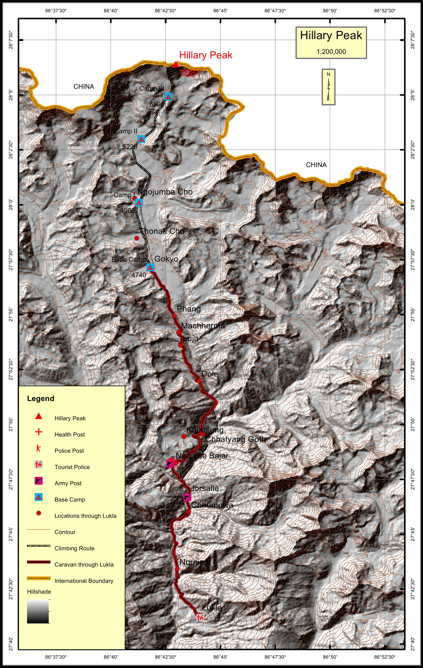
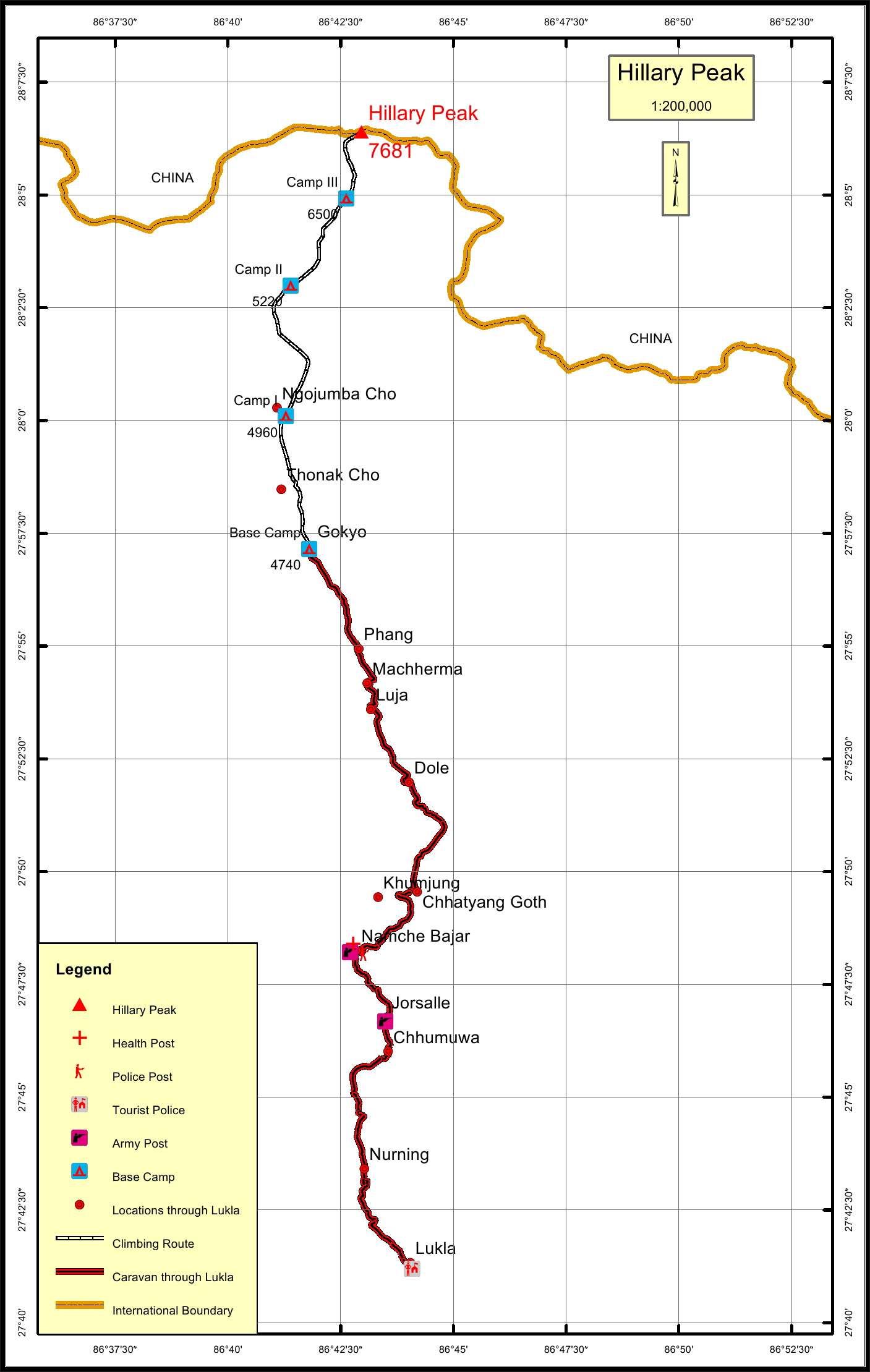
Hillary Peak Overview

Peak ID

HILL

Status

Opened

Elevation

7681 M / 25200 FT

Latitude

28° 06'24"

Longitude

86° 42'58"

Hillary Peak is the name given in honor of first climber of Mt. Everest Edmund Hillary. It was recommended by the Nepalese government to rename two peaks after the name of Hillary and Tenzing as a part of new opened summit to climb in 2014.

Location

  • Province:

    Province 1
  • Mountain Range:

    Mahalangur
  • District:

    Solukhumbu/NC
  • Municipality/Rural Municipality:

    Khumbu Pasang Lhamu

Nearest help center

( from the basecamp along
the caravan route )
  • Police post:

    Namche 21.8KM
  • Army post:

    Namche 21.8KM
  • Health centre/post:

    Namche 21.8KM
  • Tourist police post:

    Lukla 39KM
  • Nearest settlement :

    Gokyo

Royalty Fees

  • Nepalese (NRs):

    Rs.2000 in Summer and Winter, Rs.4000 in Autumn and seasons and Rs.8000 in Spring.
  • Foreigners (USD):

    $150.00 in Summer and Winter, $300.00 in Autumn and $600.00 in Spring

How to get there

  • From Kathmandu:

    Flight to Lukla
  • Caravan route:

    Lukla-Namche-Gokyo-BC
  • Caravan route
    length:

    39KM through Lukla
  • Climbing route
    length:

    19.4KM
  • Duration:

    56 Days

Maps