Kande Hiun Chuli Overview

Peak ID

KAND

Status

Opened

Elevation

6627 M / 21742 FT

Latitude

29º 24' 41"

Longitude

82º 33' 37"

History

1st ascent on

Oct 18,1972

1st ascent by

Toyokazu Hirota,
Shigeru Kuwahata,

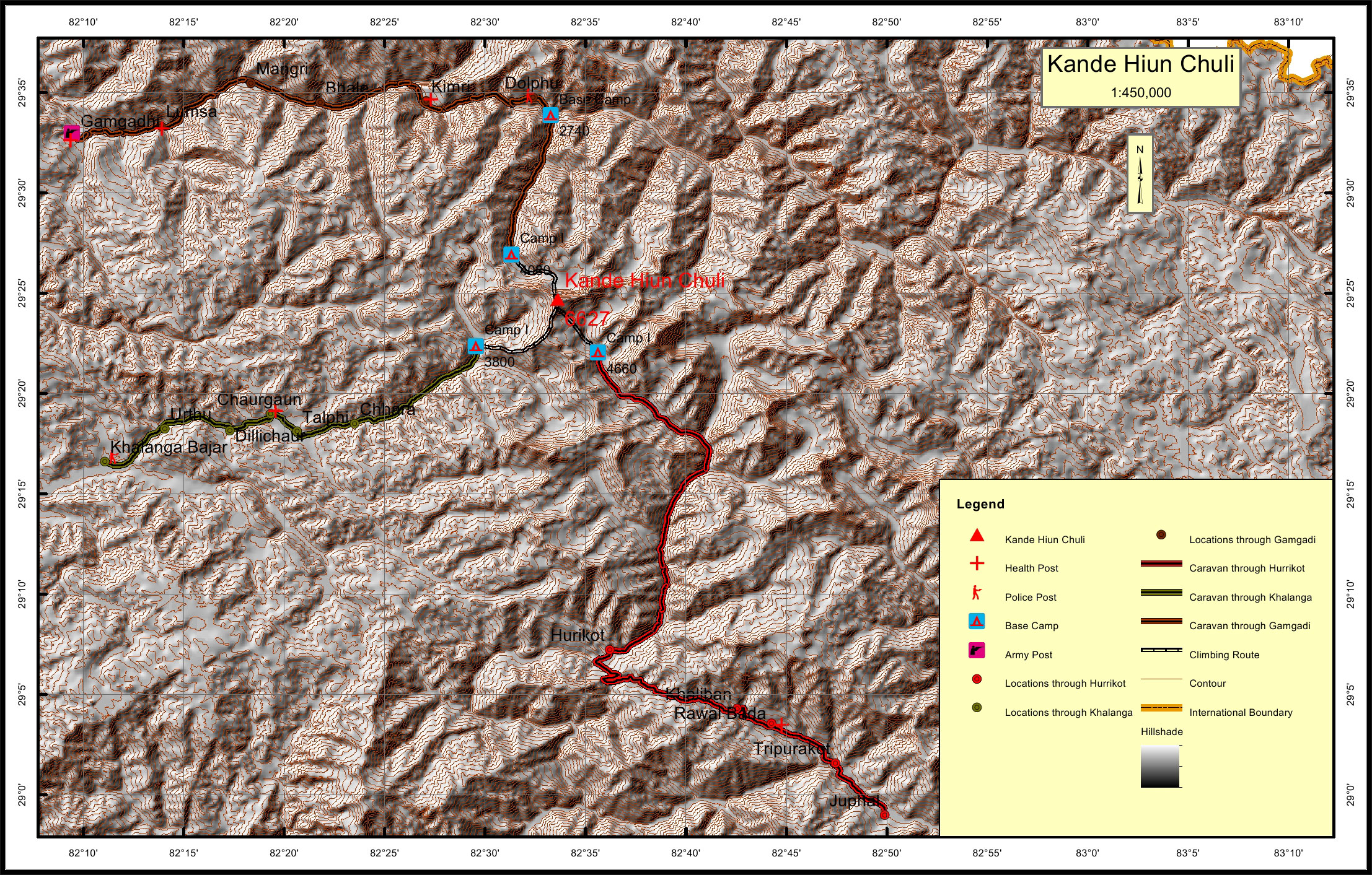
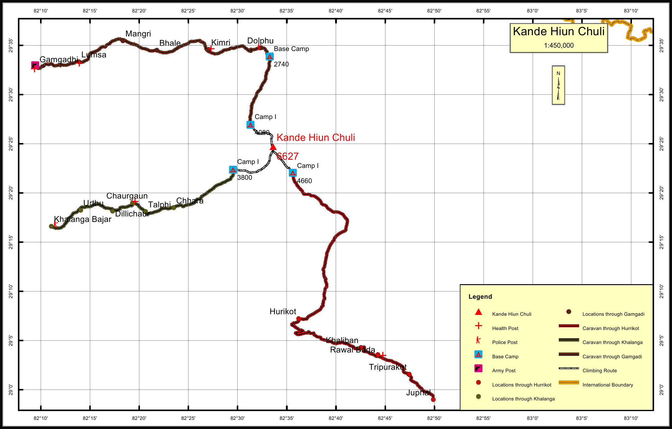
Kande Hiun Chuli, part of Kanjiraba sub range of the Nepalese Himalayas is located in Mugu, Jumla and Dolpa Districts of Mid-Western Nepal.

Location

  • Province:

    Karnali Pradesh
  • Mountain Range:

    Patrasi
  • District:

    Mugu/Jumla/Dolpa
  • Municipality/Rural Municipality:

    Patarasi/Mugu Makarmarong/Jagdulla

Nearest help center

( from the basecamp along
the caravan route )
  • Police post:

    Dolphu 16.3KM Tripurakot 66KM Jumla Khalanga 38.2KM
  • Army post:

    Gamgadi 61.9KM
  • Health centre/post:

    Kimri 27.2KM Rawat Bada 59.6KM Chaurgaun 21.2KM
  • Nearest settlement :

    Dolphu 16.3KM Hurikot 36.9KM Chhara 13.3KM

Royalty Fees

  • Nepalese (NRs):

    Sp 5000, Au 2500, Wi/Su 1250
  • Foreigners (USD):

    Sp 400, Au 200, Wi/Su 100

How to get there

  • From Kathmandu:

    By flight to Nepalganj and Gamgadi
  • Caravan route:

    Jumla-Talpe-Chaudabise Khola BC
  • Caravan route
    length:

    61.9KM through Gamgadi, 72.8KM through Juphal, 38.2KM through Jumla Khalanga
  • Climbing route
    length:

    61.9KM through Gamgadi, 72.8KM through Juphal, 38.2KM through Jumla Khalanga
  • Duration:

    45 Days

Maps