Kanjerawa Overview

Other Name

Kanjeralwa, Kanchen Ruwa, Gangchhenralwa

Peak ID

KJER

Status

Opened

Elevation

6612 M / 21693 FT

Latitude

28º 13' 56"

Longitude

82º 52' 34"

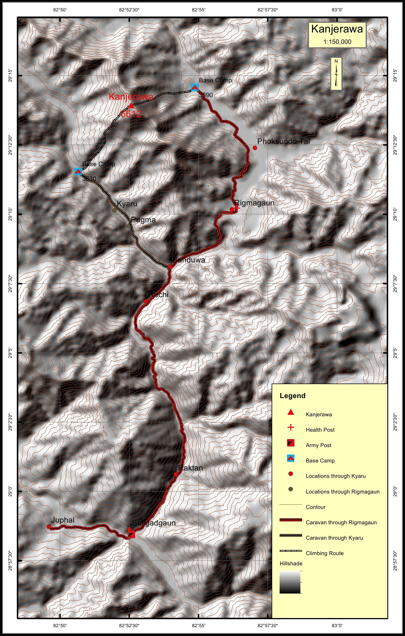
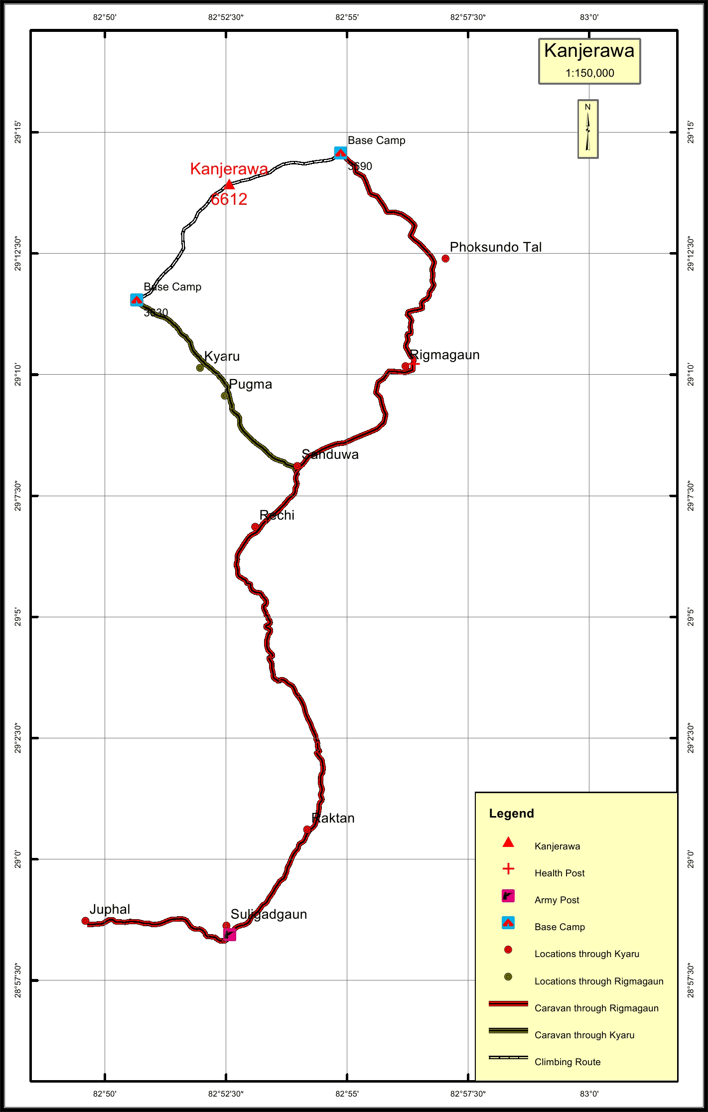
Kanjerawa located in the Dolpa district of Nepal is inside Shey Phoksundo National Park. It is locally known as Gangchhenralwa Himal, meaning Big Mountain for Gangchhen and Horse’s mane for Ralwa. It is named so as the peak looks like the neck of a horse or horse’s mane. Kanjerawa is the second tallest peak in Dolpa standing beautifully right on the Phoksundo Lake.

Location

  • Province:

    Karnali Pradesh
  • Mountain Range:

    Kanjiroba
  • District:

    Dolpa
  • Municipality/Rural Municipality:

    She Phoksundo

Nearest help center

( from the basecamp along
the caravan route )
  • Police post:

    Rigmagaun from Juphal 44.6KM Pugma from Juphal 36.1KM
  • Army post:

    Suligadgaun 30.3KM Suligadgaun 38.7KM
  • Health centre/post:

    Rigmagaun 10.5KM
  • Nearest settlement :

    Kyaru 3KM Rigmagaun 10.5KM

Royalty Fees

  • Nepalese (NRs):

    Sp 5000, Au 2500, Wi/Su 1250
  • Foreigners (USD):

    Sp 400, Au 200, Wi/Su 100

How to get there

  • From Kathmandu:

    By flight to Nepalganj and Juphal
  • Caravan route:

    Juphal-Dunai-Phoksundo Tal-BC
  • Caravan route
    length:

    44.1KM through Rigmagaun from Juphal, 35.7KM through Pugma from Juphal
  • Climbing route
    length:

    5.6KM through Pugma, 4KM through Rigmagaun
  • Duration:

    50 Days

Maps