Khangbachen Overview

Other Name

Kambachen

Peak ID

KANB

Status

Opened

Elevation

7903 M / 25928 FT

Latitude

27.7164

Longitude

88.1128

Khangbachen is in the Kanchenjunga mountain range of Nepal and is in the Province I. Khangbachen lies in the Phaktanglung gaupalika of Taplejung district. Khangbachen is the seventh highest peak of Kanchenjunga mountain range of Nepal. Khangbachen is 4.1km east of Anidesh Chuli, 1.6 km north west of Yalung Khang West and 4.1km west of Kanchenjunga North.

Location

  • Province:

    Province 1
  • Mountain Range:

    Kanchenjunga
  • District:

    Taplejung
  • Municipality/Rural Municipality:

    Phaktanglung

Nearest help center

( from the basecamp along
the caravan route )
  • Police post:

    0.1KM at Tapethok
  • Army post:

    Taplejung, the district headquarters, at a distance of 0.1KM and in alternate route is also Taplejung at a distance of 0.1KM
  • Health centre/post:

    0.1KM away at Siwa and in alternate route is Sibung at a distance of 0KM
  • Nearest settlement :

    Khangpachen at a distance of 0KM while in alternate route, Yamphudin is at a distance of 0KM

Royalty Fees

  • Nepalese (NRs):

    NRs 8000 in spring season, NRs 4000 in autumn and NRs 2000 in winter or summer for expedition
  • Foreigners (USD):

    USD 600 in spring season, USD 300 in autumn and USD 150 in winter or summer for expedition

How to get there

  • From Kathmandu:

    Fly to Biratnagar or Bhadrapur and then by vehicle to Taplejung or by vehicle to Taplejung
  • Caravan route:

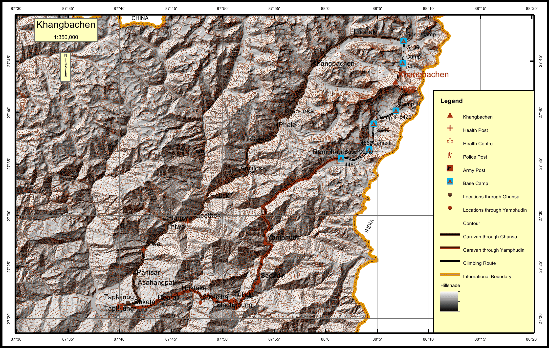
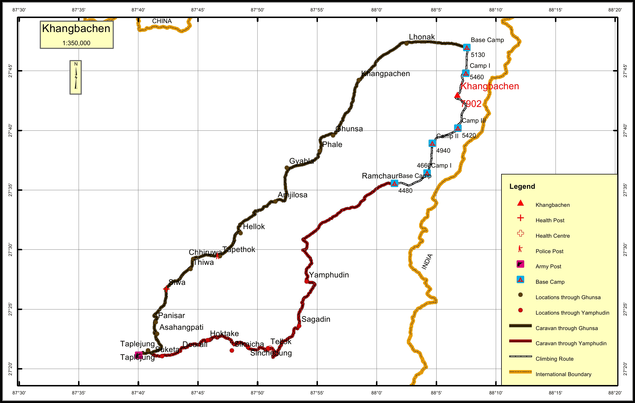
    Taplejung-Siwa-Tapethok-Ghunsa-Khangpachen-Lhonak-BC/Taplejung-Hoktake-Tellok-Yamphudin-Ramchaur-BC
  • Caravan route
    length:

    0.1KM through Ghunsa and through Yamphudin is 0.1KM
  • Climbing route
    length:

    0KM through Ghunsa and 0KM through Yamphudin
  • Duration:

    75 Days

Maps