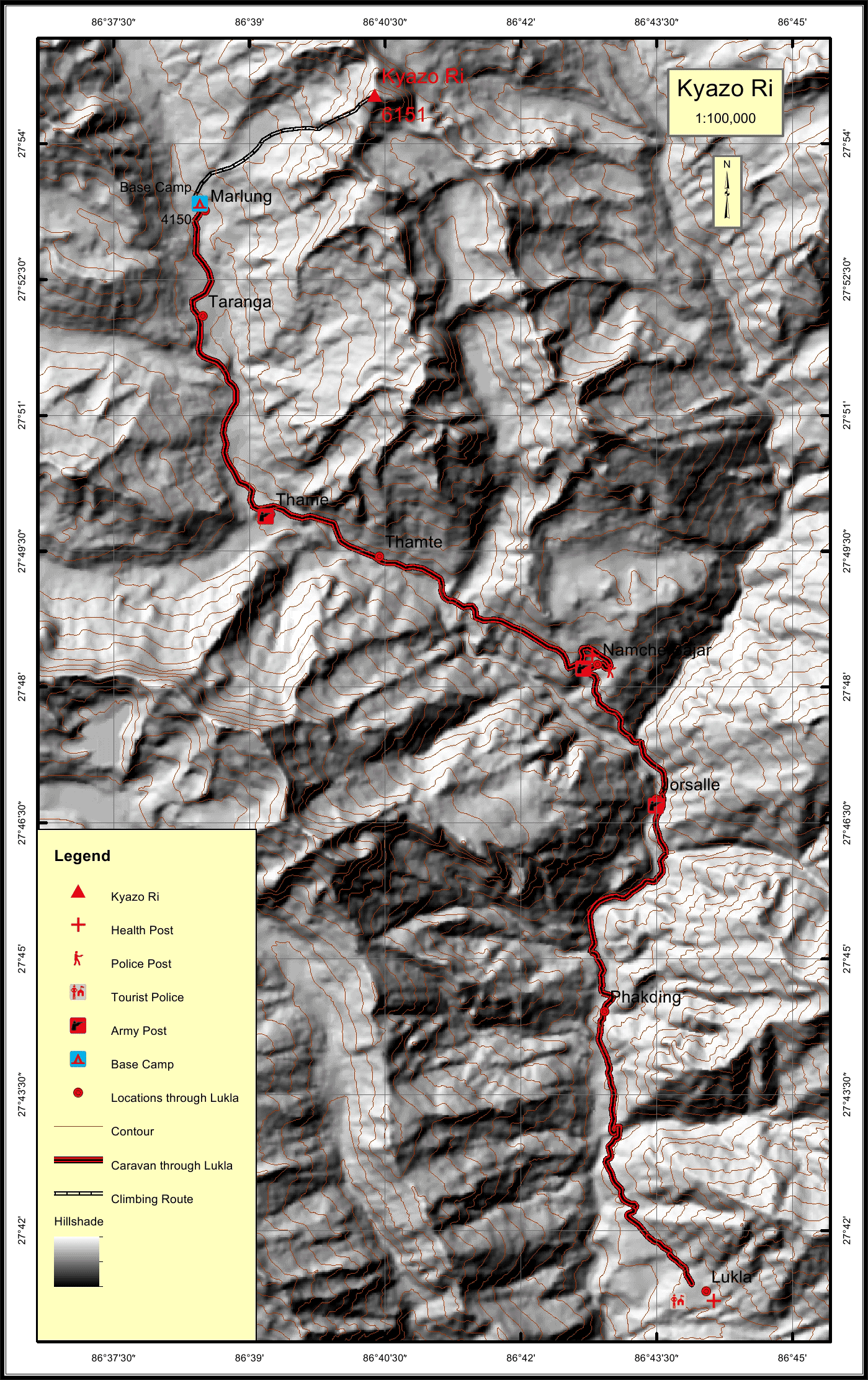
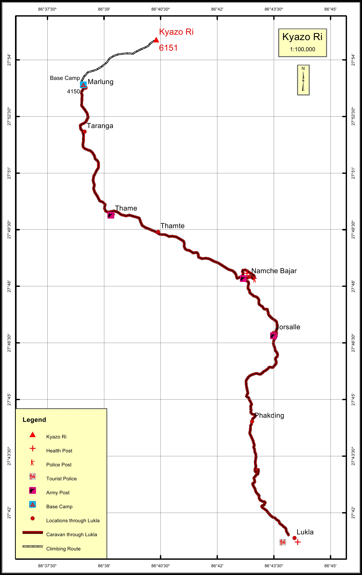
Kyazo Ri * Overview
History
Kyazo Ri is one of the classic and isolated peaks situated within the Everest region. It is taken as the high trekking peaks on the Southern ridge and is part of the longest range the Mahalangur Range.
Kyazo Ri (6,186 m) is situated in the Khumbu Himal just north of Namche
Bazaar. It is the highest summit of a long line of peaks that separate the
Thame Valley to the west and Gokyo Valley to the east and run all the way to
Cho Oyu on the Nepal-Tibet border.
This is a classic trekking peak, seldom climbed, with a wonderfully isolated
base camp. It’s technically pleasing for experienced climbers and the summit
day’s climbing has been compared to that of Ama Dablam, though at only
6,186 m it requires much less acclimatization (and therefore time to do). The normal route is south-facing, catching the sun, and has few objective
hazards such as rockfall or avalanche.
Basecamp is in a pristine, hidden valley known as the Kyajo Drangka, which
requires a long hike to reach it from Mende, about 4 km from Namche
Bazaar. See the fourth edition of the guide book “Trekking in the Everest
Region” for a description.
Reaching Camp 1 from Base Camp is a long day over rough, but non-
technical terrain. Camp 2 is a shorter distance from Camp 1 but the terrain
includes difficult scree and giant boulders. From Camp 2 to the summit is 12
pitches of steep snow and ice, most of which require belaying, with one or
two steep pitches of up to 65° gradient just below the summit.
Location
Nearest help center
( from the basecamp alongthe caravan route )


