Langdak Overview

Peak ID

LDAK

Status

Opened

Elevation

6220 M / 20407 FT

Latitude

27°55'01

Longitude

86°33'49

History

1st ascent on

5 Oct, 2015 A.D

1st ascent by

Dawa Gyalje Sherpa,
Nima Tenji Sherpa,
Tashi Sherpa,

Langdak is in the Rolwaling Himal mountain range of Nepal Himalayas. Langdak is on the boundary of Bagmati Province and Province I. Langdak is on the boundary of Solukhumbu and Dolakha district. Langdak is on the boundary of Khumbu Pasang Lhamu and Gaurishankar gaupalika. Langdak is 4.0km west of Nheserku and 3.3km east of Rolwaling Khang North. Raungsiyar is 1.0km south of Langdak.

Location

  • Province:

    Province 1
  • Mountain Range:

    Rolwaling
  • District:

    Dolakha/Solukhumbu
  • Municipality/Rural Municipality:

    Khumbu Pasang Lhamu

Nearest help center

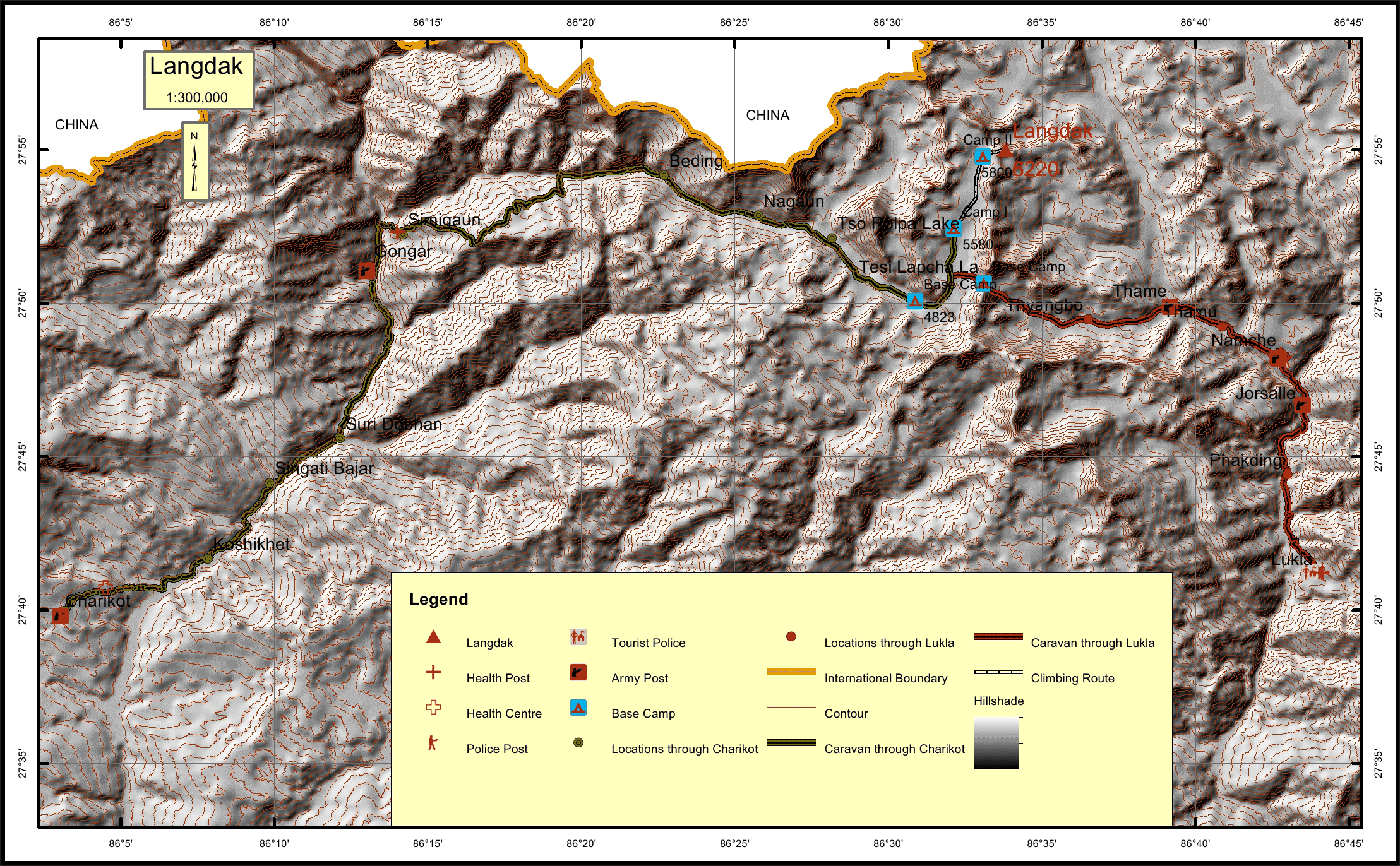
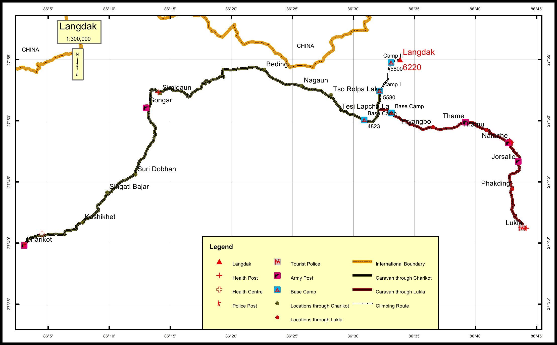
( from the basecamp along
the caravan route )
  • Police post:

    Namche 19.9KM Charikot 77.3KM
  • Army post:

    Gongar at 0KM and for alternative route is in Thame at 0KM
  • Health centre/post:

    Namche 19.9KM Simigaun 40KM
  • Tourist police post:

    Lukla 37.9KM
  • Nearest settlement :

    Thame 12.3KM Nagaun 14.3KM

Royalty Fees

  • Nepalese (NRs):

    Spring 4000, Autumn 2000, Winter/Summer 1000
  • Foreigners (USD):

    Spring 250, Autumn 125, Winter/Summer 70

How to get there

  • From Kathmandu:

    Drive to Dolakha, Charikot
  • Caravan route:

    Charikot-Simigaun-Beding-Na-Rolwaling glacier-BC
  • Caravan route
    length:

    37.9KM through Lukla, 77.3KM through Charikot
  • Climbing route
    length:

    9KM
  • Duration:

    24 Days

Maps