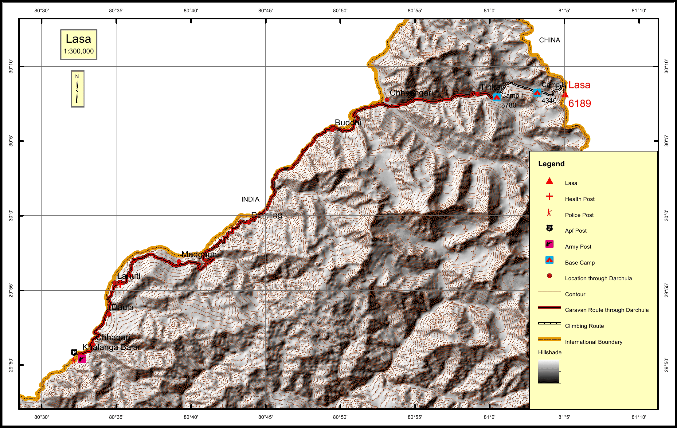
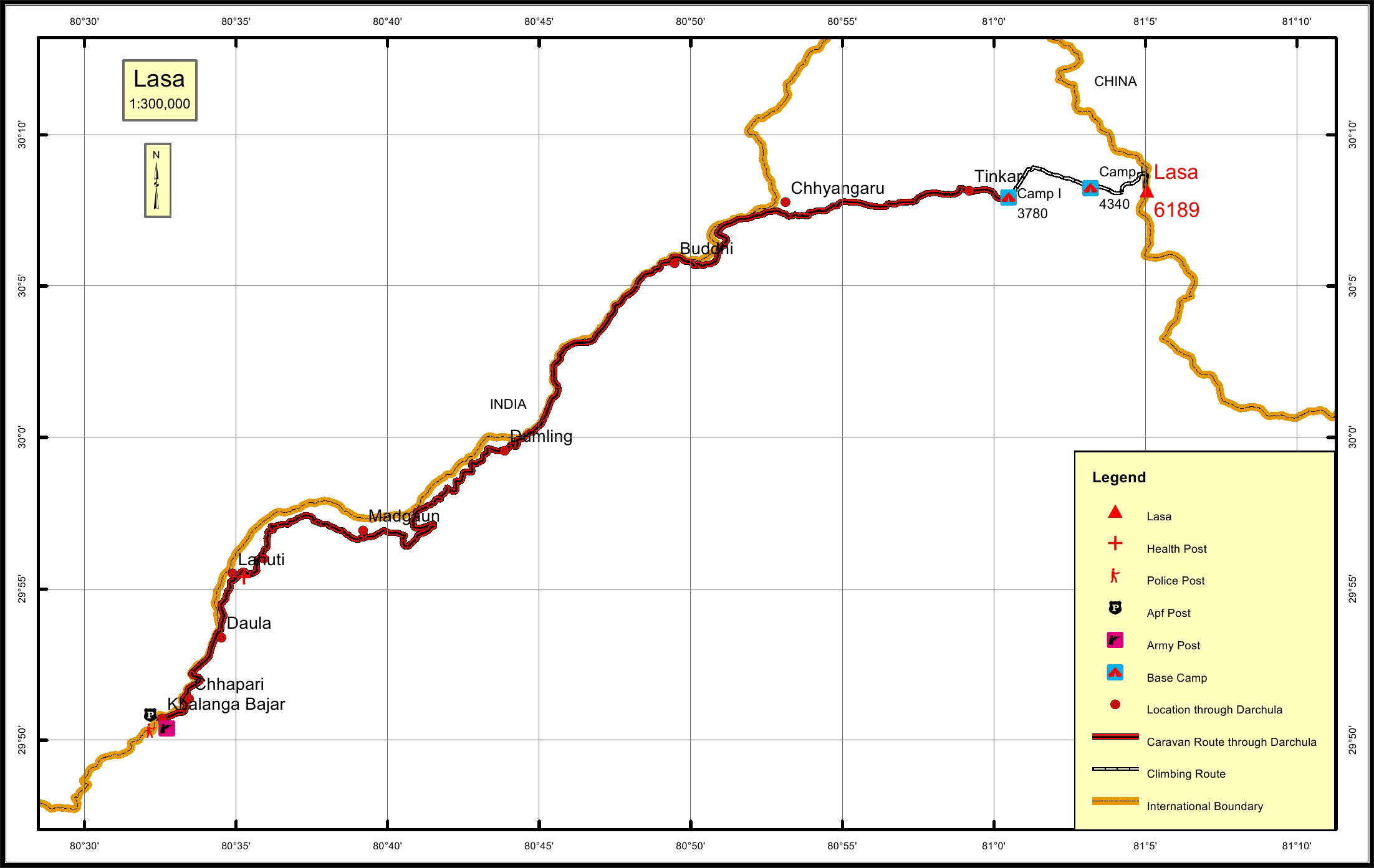
Lasa Overview

Peak ID

LASA

Status

Opened

Elevation

6189 M / 20305 FT

Latitude

30° 08'09

Longitude

81° 05'03

Location

  • Province:

    Sudhurpashchim Pradesh
  • Mountain Range:

    Byas-Rishi
  • District:

    Darchula/NC
  • Municipality/Rural Municipality:

    Byas/NC

Nearest help center

( from the basecamp along
the caravan route )
  • Police post:

    Darchula Khalanga 76.8KM
  • Army post:

    Darchula Khalanga 76.8KM
  • Health centre/post:

    Lahuti 65.4KM
  • Nearest settlement :

    Tinkar 2.3KM

Royalty Fees

  • Nepalese (NRs):

    Spring 4000, Autumn 2000, Winter/Summer 1000
  • Foreigners (USD):

    Spring 250, Autumn 125, Winter/Summer 70

How to get there

  • From Kathmandu:

    By flight to Nepalganj
  • Caravan route:

    Darchula-Changru-Tinkar River-BC
  • Caravan route
    length:

    76.8KM through Darchula
  • Climbing route
    length:

    10.6KM
  • Duration:

    60 Days

Maps