Lho Tse Overview
History
Mount LhoTse is the fourth highest mountain in the world after Mt Everest, Mt
K2, and Mt. Kanchenjunga. LhoTse in Tibetan mean the “South Peak”. The
peak elevates to a height of 8516 m. LhoTse lies in Khumjung Village
Development Committee under Khumbu Pasang Lhamu rural municipality of
Solukhumbu District in the Eastern Development Region of Nepal. It is open
for expedition. It takes approximately 60 days to climb LhoTse. A flight to
Lukla is the entry point for LhoTse. Ernst Reiss and Fritz Luchsinger were the
firsts to ascent the LhoTse peak on May 18, 1956.
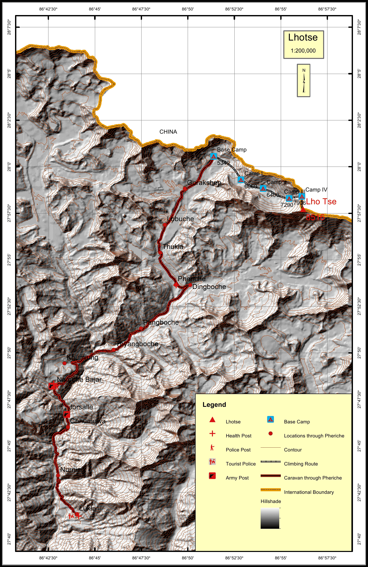
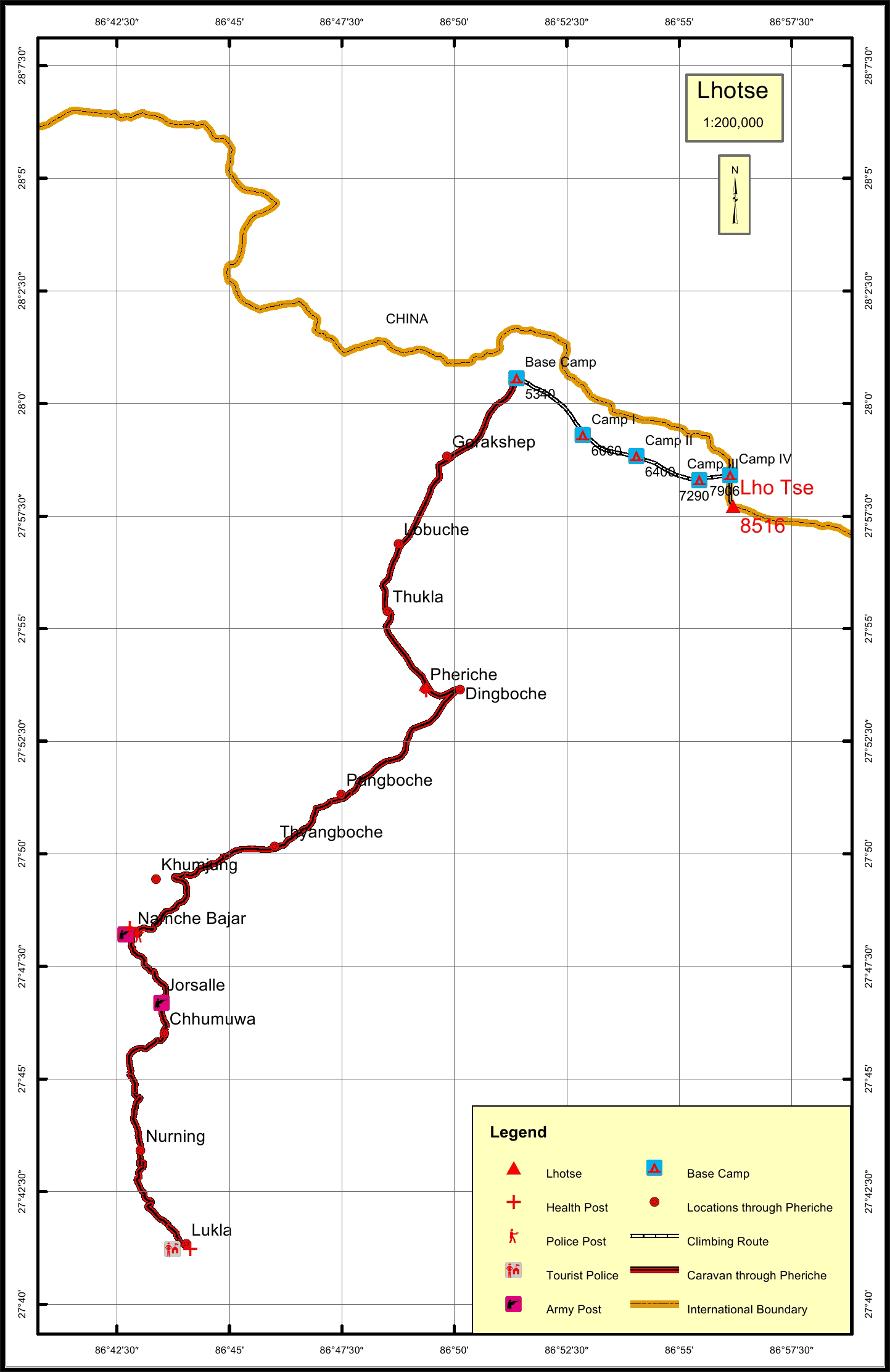
The caravan route for LhoTse begins from Lukla to Jorsalle to Namche to
Khumjung to Pheriche to Lobuche to Gorakshep and finally to the Base Camp.
The total distance of the caravan route through Pheriche is 51.1 km. The total
climbing route length is 10.6 km.
The nearest settlement to LhoTse is Lobuche at a distance of 8.3 km. The
nearest army and police post to LhoTse are at Namche which is 34.1 km away.
The nearest health post is in.Pheriche at a distance of 14.9 km.The nearest
tourist post to the peak is in Lukla which is at a distance of 51.1 km.
Location
Nearest help center
( from the basecamp alongthe caravan route )


.jpg)
.jpg)
.jpg)


