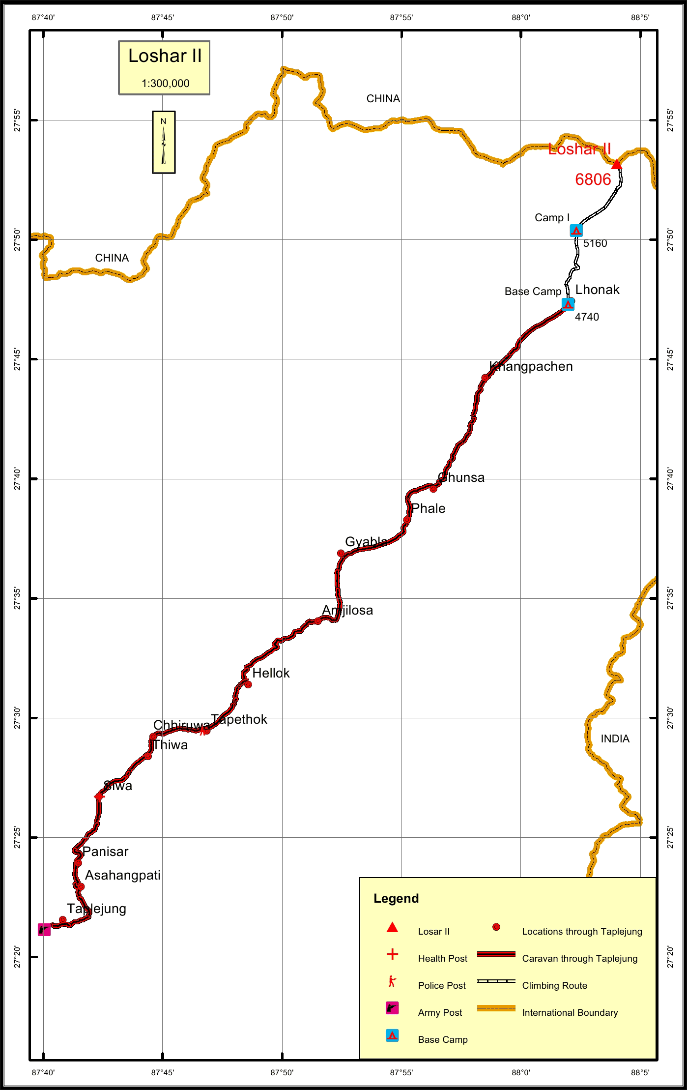
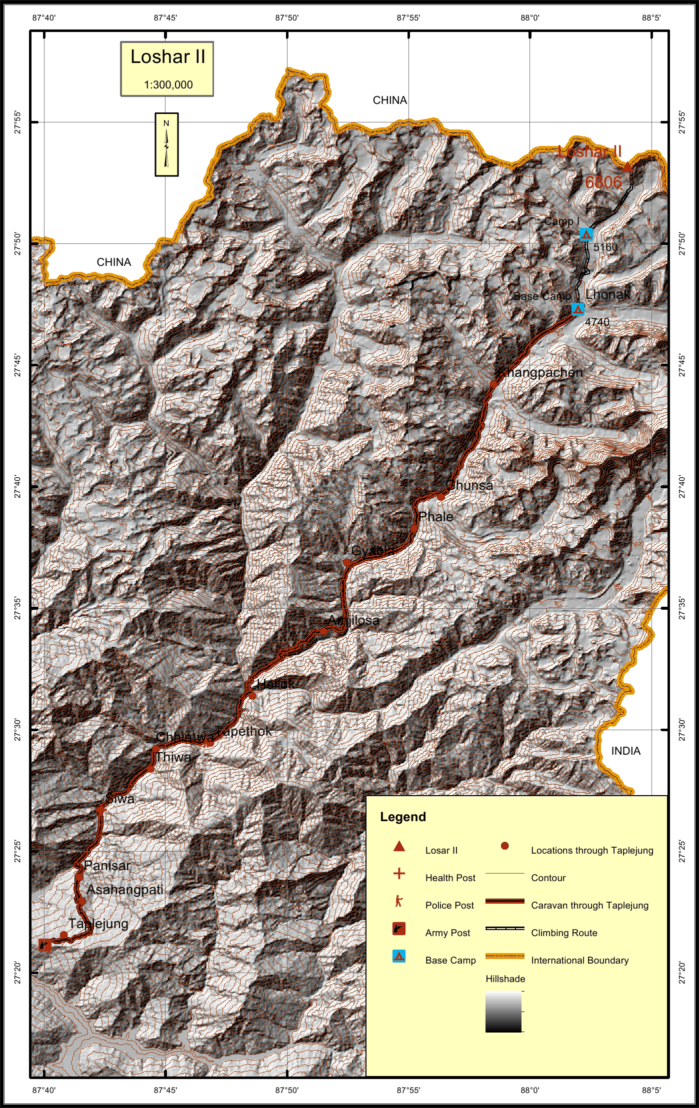
Loshar II Overview

Other Name

Lashar II

Peak ID

LOS2

Status

Opened

Elevation

6860 M / 22329 FT

Latitude

27º 53' 10"

Longitude

88º 04' 01"

Location

  • Province:

    Province 1
  • Mountain Range:

    Kanchenjunga
  • District:

    Taplejung/NC
  • Municipality/Rural Municipality:

    Phaktanglung/NC

Nearest help center

( from the basecamp along
the caravan route )
  • Police post:

    Tapethok 47.8KM
  • Armed police post

    Taplejung 72.4KM
  • Army post:

    Taplejung 72.4KM
  • Health centre/post:

    Siwa 57.9KM
  • Nearest settlement :

    Khangpachen 8.1KM

Royalty Fees

  • Nepalese (NRs):

    Spring 5000, Autumn 2500, Winter/Summer 1250
  • Foreigners (USD):

    Spring 400, Autumn 200, Winter/Summer 100

How to get there

  • From Kathmandu:

    Fly to Biratnagar or Bhadrapur and then by vehicle to Taplejung or by vehicle to Taplejung
  • Caravan route:

    Taplejung-Ghunsa-Lonak-Tshima Glacier-BC
  • Caravan route
    length:

    72.4KM through Ghunsa
  • Climbing route
    length:

    12.7KM
  • Duration:

    40 Days

Maps