Manaslu Overview
History
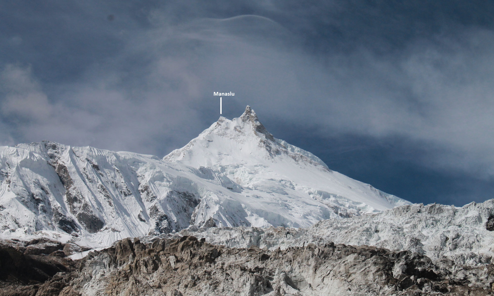
Mount Manaslu, also known as Kampunge is the eighth highest mountain in
the world. It is located in the west-central part of Nepal. Manaslu in Sanskrit
means “manasa” meaning “Intellect” or “soul”.
The peak elevates to a height of 8,163 m. Manaslu lies in Thoche, Dharapani
and Samagaun Village Development Committee of Manang and Gorkha
Districts in the Western Development Region of Nepal. It is open for
expeditions. It takes approximately 65 days to climb Manaslu Peak. A drive to
Dhadingbesi or a drive to Gorkha are the two entry points for Manaslu Peak.
Toshio Imanishi and Gyaltsen Norbu Sherpa were the first to successfully
ascend this peak on 9 May 1956.
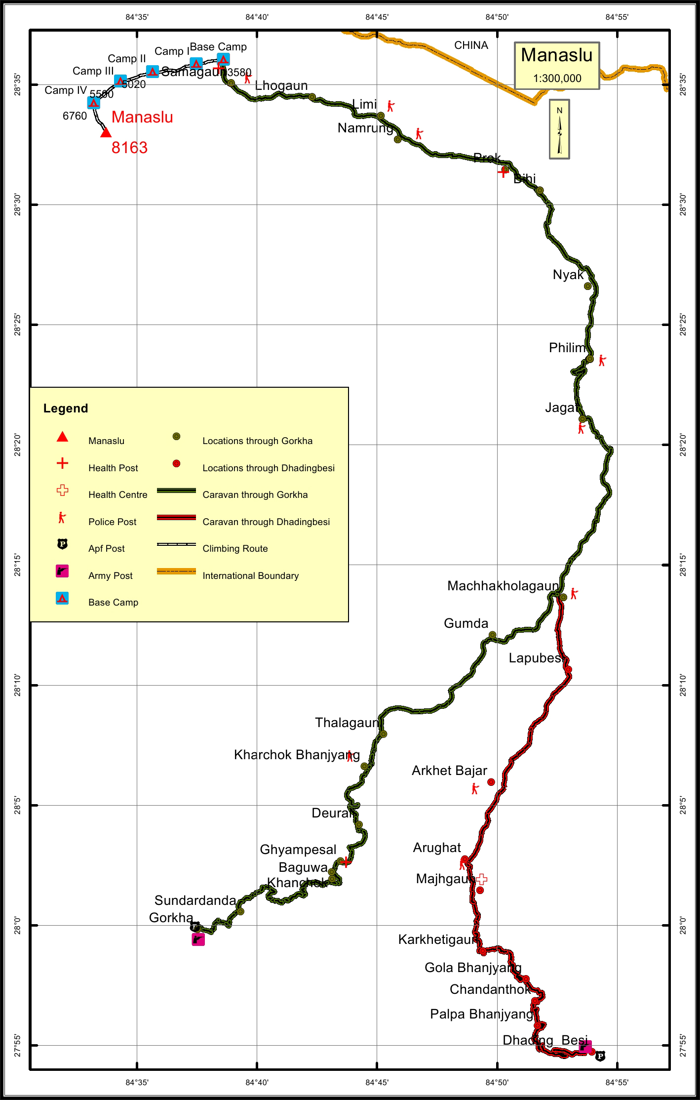
Caravan route: There are two caravan routes for Manaslu Peak. The first
begins from Gorkha to Khanchok to Deurali to Gumda to Jagat to Philim to
Bihi to Namrung to Samagaun and finally to the Base Camp. The other is from
Dhadingbesi to Arughat to Jagat to Philim to Bihi to Namrung to Samagaun
and finally to the Base Camp. The total distance of the caravan route through
Gorkha is 120.6 km and through Dhadingbesi is 120.1 km. The total climbing
route length is 12.2 km from the Base Camp.
The nearest settlement to the Manaslu peak is Samagaun at a distance of 1.9
km. The nearest police post from the peak is in Samagaun 1.9 km away. The
nearest Armed Police Force and army posts from the peak is in Dhadingbesi at
a distance of 120.1 km or Gorkha at 120.6 km. The nearest health post from the
peak is in Samagaun at a distance of 1.9 km.
Location
Nearest help center
( from the basecamp alongthe caravan route )


.jpg)

.jpg)


