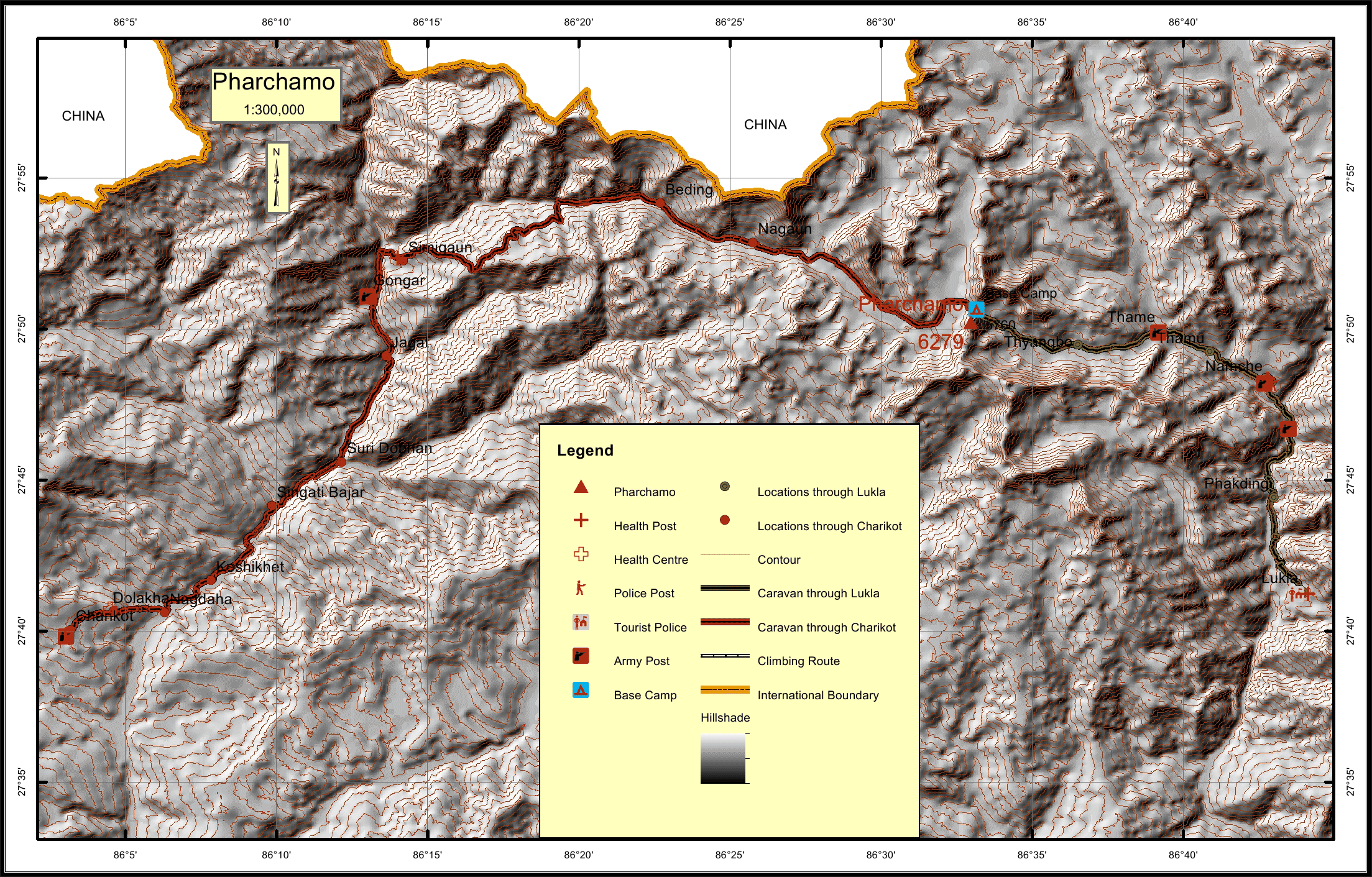
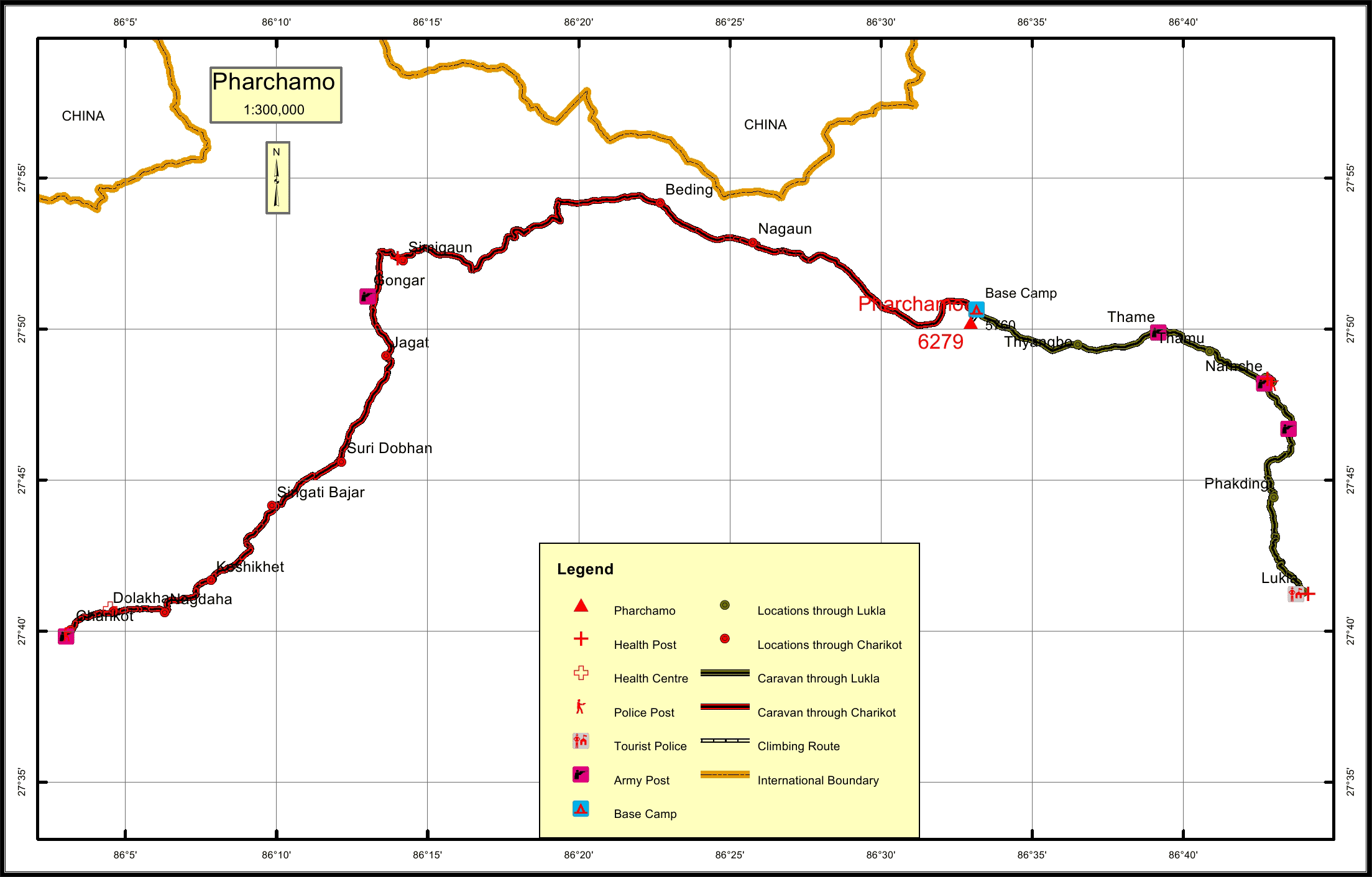
Pharchamo * Overview

Other Name

Parchermo, Parchemuche

Peak ID

PARC

Status

Opened

Elevation

6279 M / 20600 FT

Latitude

27º 50' 12

Longitude

86º 32' 58

Managed By

NMA

History

1st ascent on

Apr, 1955 A.D

1st ascent by

Peter Boultbee,
Denis Davis,

First climbed in 1955, Pharchamo Peak (6,187 m) is an attractive snow peak lying to the south of the formidable glaciated Tashi Lapcha pass (5,760 m) which connects the Rolwaling Valley with Thame and the Khumbu Valleys. It has a north-by-northwest ridge, which rises from the crevassed glacier astride the Tashi Lapcha. The face of the ridge forms a uniform slope broken by crevasse and seracs. The lower reaches pose little difficulty, although towards the summit, depending on seasonal conditions, open crevasses and ice-steps may present some challenges. Pharchamo is often climbed in conjunction with Ramdung in the Rolwaling Valley. Many groups choose to continue the crossing of the Tashi Lapcha and decend into the Khumbu to finish their journey at Lukla.

Location

  • Province:

    Province 1
  • Mountain Range:

    Rolwaling
  • District:

    Dolakha/Solukhumbu
  • Municipality/Rural Municipality:

    Khumbu Pasang Lhamu/Gaurishankar

Nearest help center

( from the basecamp along
the caravan route )
  • Police post:

    Namche 18.9KM Charikot 80.6KM
  • Army post:

    Gongar 46.5KM Thame 11.2KM
  • Health centre/post:

    Simigaun 44KM Namche 18.9KM
  • Tourist police post:

    Lukla 36.5KM
  • Nearest settlement :

    Nagaun 18.3KM Thame 11.2KM

Royalty Fees

  • Nepalese (NRs):

    Spring 4000, Autumn 2000, Winter/Summer 1000
  • Foreigners (USD):

    Spring 250, Autumn 125, Winter/Summer 70

How to get there

  • From Kathmandu:

    Drive to Dolakha, Charikot
  • Caravan route:

    Dolakha-Beding-Kabung-Tashi Lapcha-BC / Lukla -Namche-Khumjung-Thame - Tashi Lapcha
  • Caravan route
    length:

    80.6KM through Charikot, 36.5KM through Lukla
  • Climbing route
    length:

    0.8KM
  • Duration:

    20 Days

Maps