Pisang * Overview

Other Name

Jong Ri

Peak ID

PISA

Status

Opened

Elevation

6091 M / 19984 FT

Latitude

28º 38' 46"

Longitude

84º 11' 18"

Managed By

NMA

History

1st ascent on

10 Jun, 1955 A.D

1st ascent by

Juergen Wellenkamp,

Pisang peak (6,091 m) lies just north of the Manang Valley which the famous Annapurna Circuit passes through. While sometimes offered as a three- day excursion from the village of Pisang, this can only be done if properly acclimatised. The climb since 2005 approaches via the West ridge. The upper part of the ridge, above the high camp at 5,200 m, is guarded by huge rock slabs which make it difficult to climb, especially in wet or snowy conditions. Inexperienced climbers may feel more comfortable on Island Peak or nearby Chulu Far East. Naturally there are fabulous views to be seen from the summit over the Manang Valley and the Annapurna Range. A German expedition made the first ascent of Pisang Peak in 1955.

Location

  • Province:

    Gandaki Pradesh
  • Mountain Range:

    Damodar
  • District:

    Manang
  • Municipality/Rural Municipality:

    Nesyang/Nar Phu

Nearest help center

( from the basecamp along
the caravan route )
  • Police post:

    Chame 13.9KM
  • Army post:

    Chame 13.9KM
  • Health centre/post:

    Chame 13.9KM
  • Tourist police post:

    Chame 13.9KM
  • Nearest settlement :

    Pisang

Royalty Fees

  • Nepalese (NRs):

    Spring 4000, Autumn 2000, Winter/Summer 1000
  • Foreigners (USD):

    Spring 250, Autumn 125, Winter/Summer 70

How to get there

  • From Kathmandu:

    Drive to Besisahar
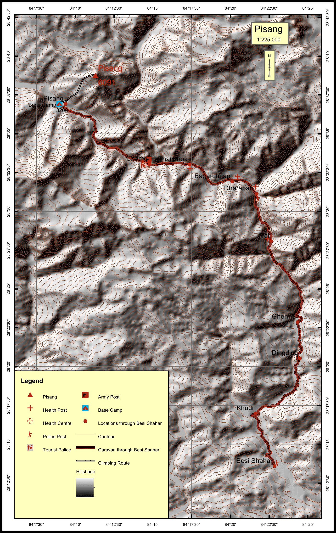
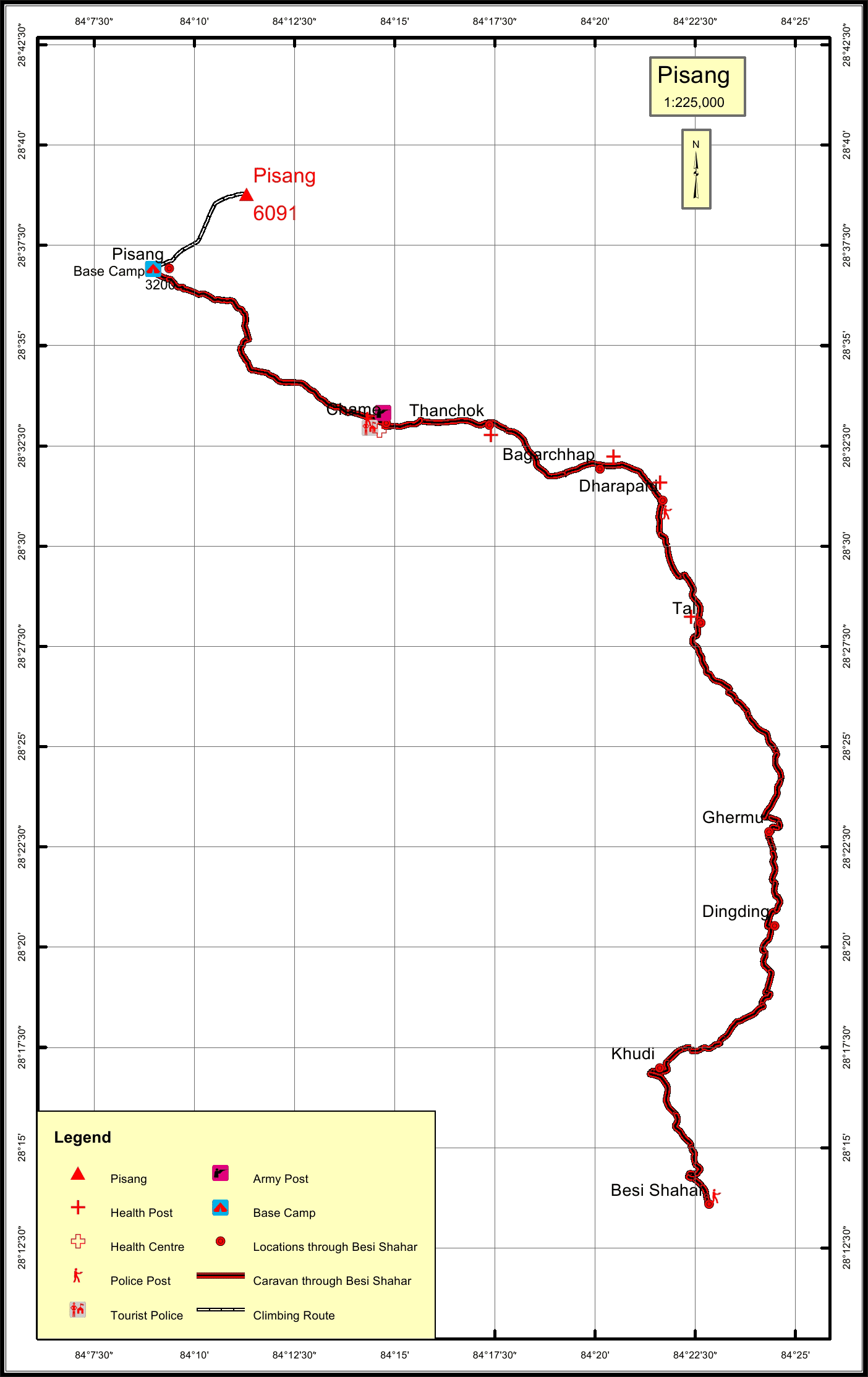
  • Caravan route:

    Besisahar-Chamje-Chame-Pisang-BC
  • Caravan route
    length:

    70.2KM through Besi Shahar
  • Climbing route
    length:

    5.5KM
  • Duration:

    18 Days

Maps