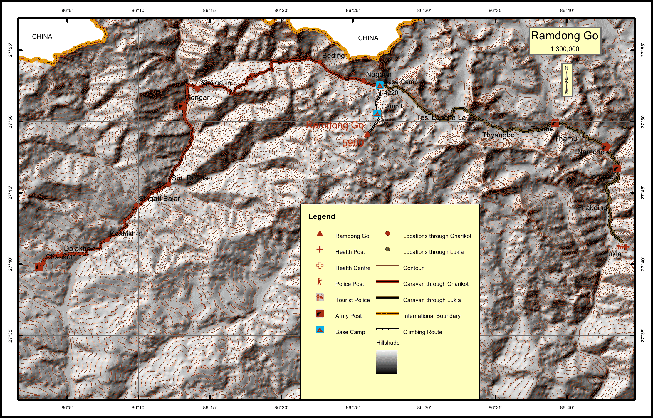
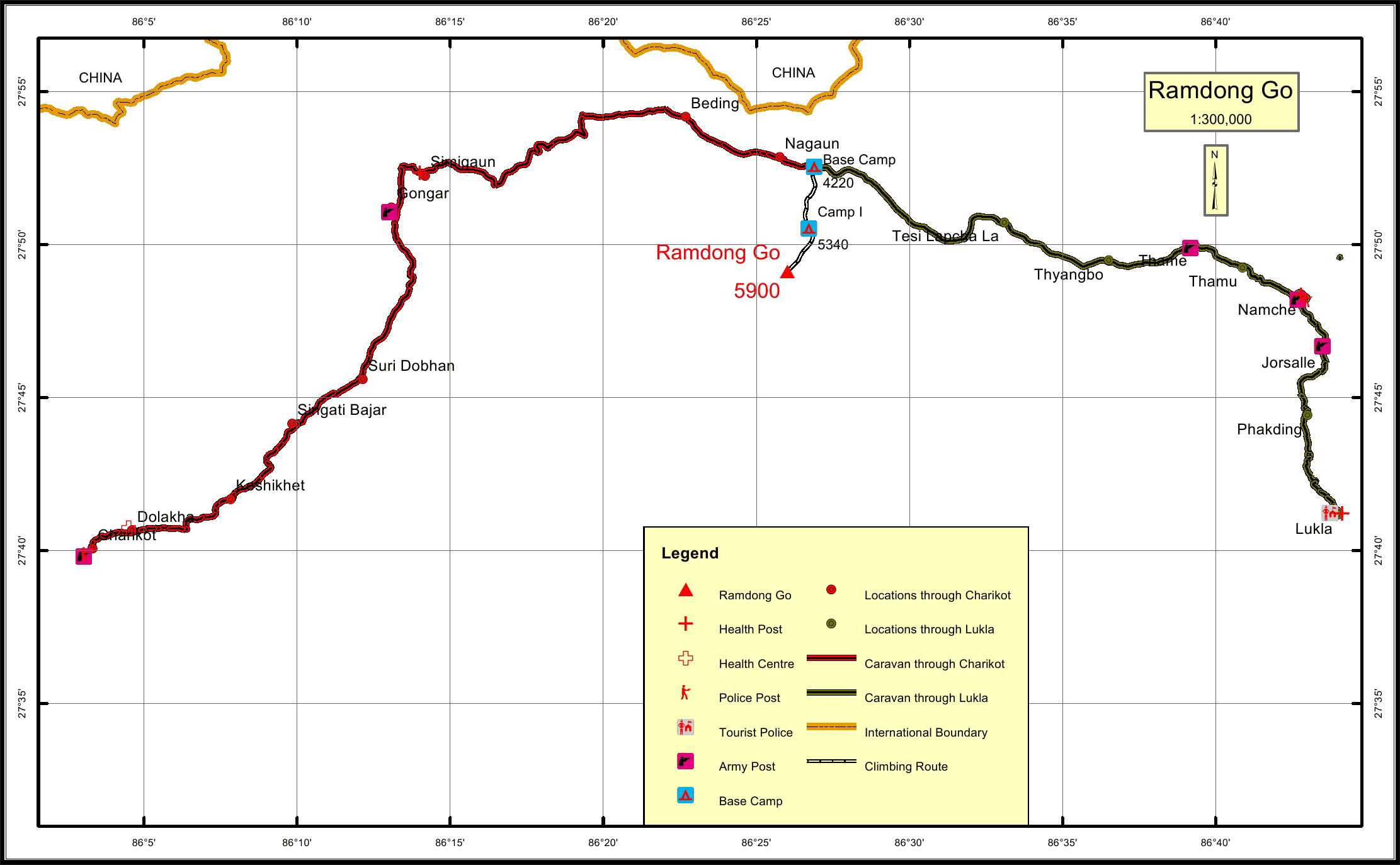
Ramdong Go* Overview
History
Ramdung (5,925 m) is situated in the remote upper Rolwaling Valley due
south of the village of Na. It is often climbed in combination with Parchermo
(6,187 m) and a crossing into the Khumbu via the infamous Tashi Lapcha
pass (5,760m).
The trek into Rolwaling adds to the attraction of these peaks. It is much less
frequently visited than the Khumbu region and is a secretive valley which
twists and turns, with views restricted by steep forested cliffs, until the valley
opens up to superb Himalayan mountain scenery.
The straightforward normal route up the North East Face of the icy dome of
Ramdung is long and usually requires two camps for proper acclimatisation.
Basecamp is positioned below the Yalung La (5,310 m), and nearby Yalung
Peak (5,650 m) is an ideal acclimatisation climb. A spectacular high camp is
normally located on the glacier below the summit ridge.
The mountain offers a panoramic view of mountain ranges from Langtang to
Everest and a splendid view of the mighty triple topped peak Gauri Shankar
and Menlungtse.
Location
Nearest help center
( from the basecamp alongthe caravan route )


